Stalowa Wola - Klimontów
- 72.6 km
- 168 m
- 118 m
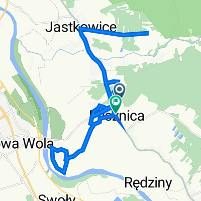
- Pysznica, Subcarpathian Voivodeship, Poland
A cycling route starting in Pysznica, Subcarpathian Voivodeship, Poland.
Overview
Route quality
Track
21.1 km
47 %
Quiet road
12.1 km
27 %
Paved
14.4 km
(32 %)
Unpaved
27.4 km
(61 %)
Asphalt
10.8 km
24 %
Loose gravel
9.9 km
22 %
Continue with Bikemap
You would like to ride Lasy Janowskie w zimie or customize it for your own trip? Here is what you can do with this Bikemap route:
Free trial for 3 days, or one-time payment. More about Bikemap Premium.
Discover more Premium features.
Get Bikemap PremiumFrom our community
Open it in the app