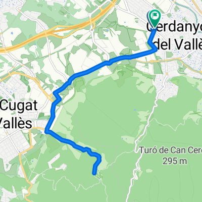
Ruta54 Tot per pista. Casi
- 28.6 km
- 498 m
- 505 m
- Cerdanyola del Vallès, Catalonia, Spain
A cycling route starting in Cerdanyola del Vallès, Catalonia, Spain.
Overview
PROMIG TIME AT 29km/h2h10m 27km/h2h20m 25km/h2h31m
created this 7 years ago
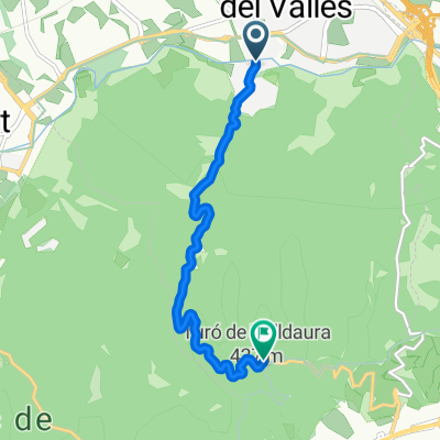
Route quality
Road
35.2 km
(52 %)
Quiet road
4.1 km
(6 %)
Paved
17.6 km
(26 %)
Asphalt
16.2 km
(24 %)
Paved (undefined)
0.7 km
(1 %)
Continue with Bikemap
You would like to ride Ruta17Ullastrell or customize it for your own trip? Here is what you can do with this Bikemap route:
Free trial for 3 days, or one-time payment. More about Bikemap Premium.
Discover more Premium features.
Get Bikemap PremiumFrom our community
Open it in the app