
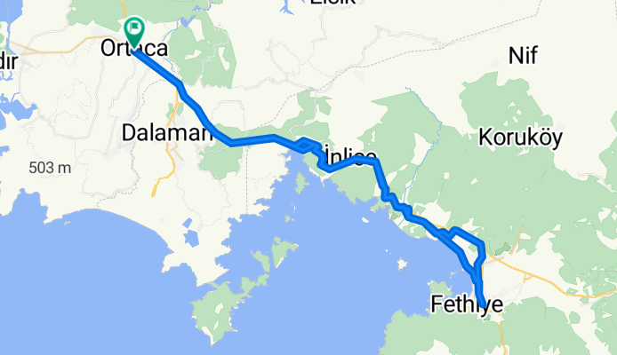
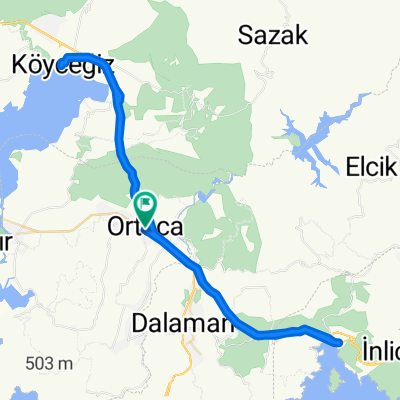
fethiye
A cycling route starting in Ortaca, Muğla Province, Turkey.
Overview
About this route
- -:--
- Duration
- 104.1 km
- Distance
- 1,081 m
- Ascent
- 1,081 m
- Descent
- ---
- Avg. speed
- ---
- Max. altitude

Continue with Bikemap
Use, edit, or download this cycling route
You would like to ride fethiye or customize it for your own trip? Here is what you can do with this Bikemap route:
Free features
- Save this route as favorite or in collections
- Copy & plan your own version of this route
- Split it into stages to create a multi-day tour
- Sync your route with Garmin or Wahoo
Premium features
Free trial for 3 days, or one-time payment. More about Bikemap Premium.
- Navigate this route on iOS & Android
- Export a GPX / KML file of this route
- Create your custom printout (try it for free)
- Download this route for offline navigation
Discover more Premium features.
Get Bikemap PremiumFrom our community
Other popular routes starting in Ortaca
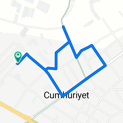 Barbaros Sokak 33 to Barbaros Sokak 33
- Distance
- 2.5 km
- Ascent
- 0 m
- Descent
- 0 m
- Location
- Ortaca, Muğla Province, Turkey
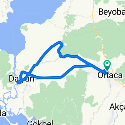
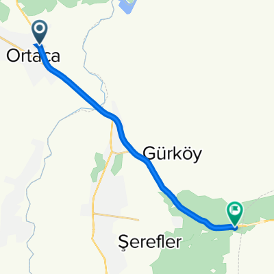 Mugla Fethiye Karayolu Cd., Ortaca à Mugla Fethiye Yolu, Dalaman
- Distance
- 14.6 km
- Ascent
- 344 m
- Descent
- 175 m
- Location
- Ortaca, Muğla Province, Turkey
 asdasdasd
- Distance
- 70.8 km
- Ascent
- 479 m
- Descent
- 482 m
- Location
- Ortaca, Muğla Province, Turkey
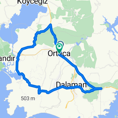
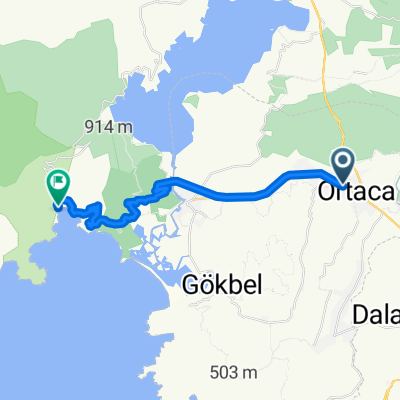
 göcek-köycegiz
- Distance
- 78.7 km
- Ascent
- 914 m
- Descent
- 914 m
- Location
- Ortaca, Muğla Province, Turkey
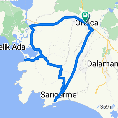 sarıgerme plaj-mergenli-iztuzu plaj
- Distance
- 60 km
- Ascent
- 410 m
- Descent
- 409 m
- Location
- Ortaca, Muğla Province, Turkey
 ekincik kamp
- Distance
- 29.3 km
- Ascent
- 628 m
- Descent
- 651 m
- Location
- Ortaca, Muğla Province, Turkey
 fethiye
- Distance
- 104.1 km
- Ascent
- 1,081 m
- Descent
- 1,081 m
- Location
- Ortaca, Muğla Province, Turkey
 Karaoğlanoğlu Caddesi 81 to Karaoğlanoğlu Caddesi 81
- Distance
- 29.4 km
- Ascent
- 52 m
- Descent
- 53 m
- Location
- Ortaca, Muğla Province, Turkey
Open it in the app