

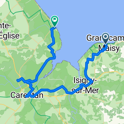
Grandcamp-Maisy - St.Vaast- 76km 5h
A cycling route starting in Grandcamp-Maisy, Normandy, France.
Overview
About this route
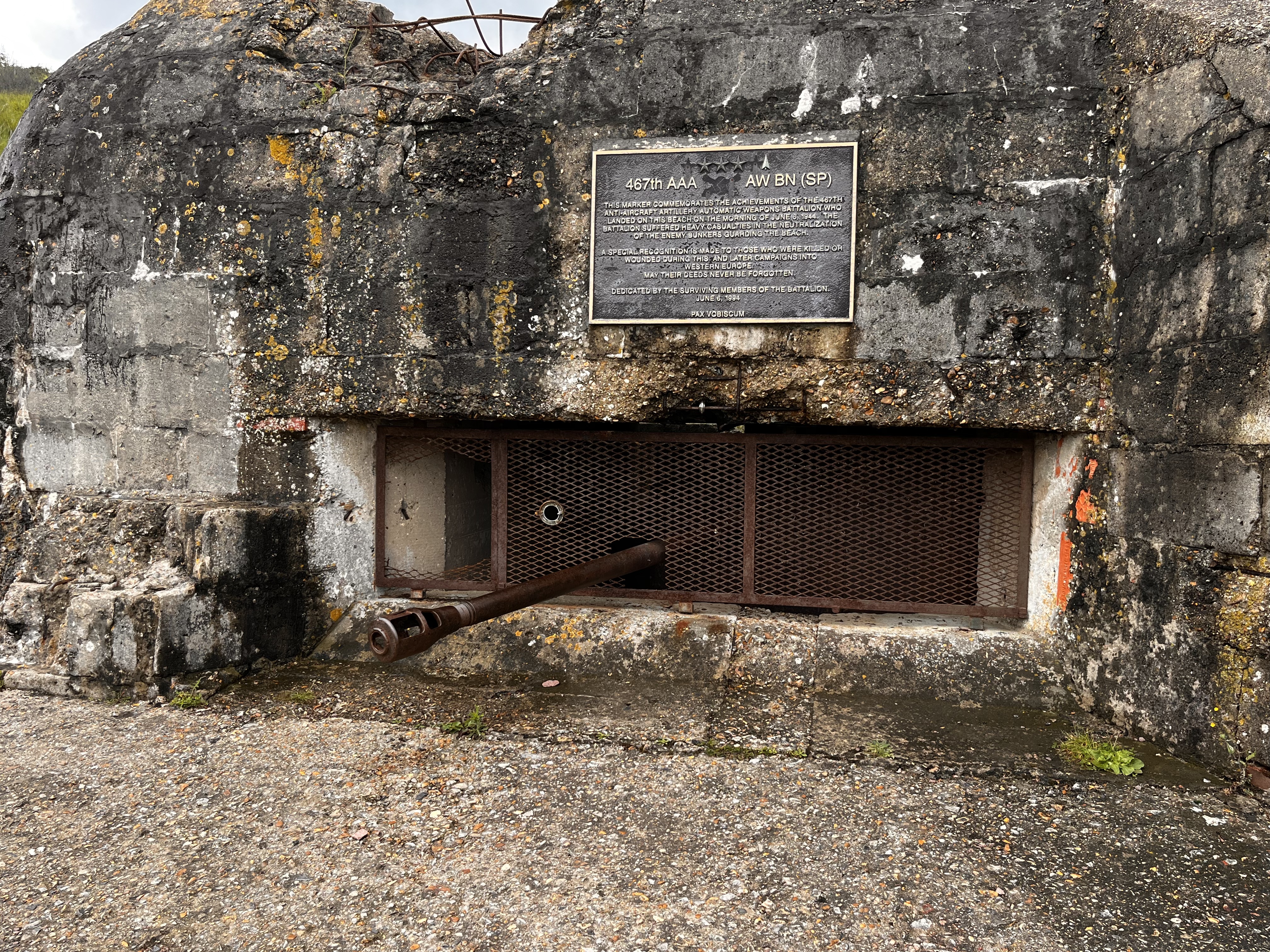
Grandcamp-Maisy - (with Word-peace memorial, reconstructed amphitheater) - Maisy - Gefosse-Fontenay (with dunes at low tide) - Fontenay - St. Clement - (bypassed by Osmanville) - Isigny-s.M. - (church & town hall, fishing harbor) - St. Hiliaire Pettitville (1500 inhabitants with educational trail in the swamp nature reserve along the Canal de Vire et Taute) - Carentan - (6000 inhabitants with town hall, cathedral, arcades of the former trading city, German-Allied battle from June 8-15, 1944 in the hinterland of the UTAH beach section, key position of the German defense of Normandy) - le Grand Vey (bird paradise, swamp area) - Utah-Beach with museum (with B-26 bombers, video is said to be good) - le Grand Hameau-des-Dunes - (huge beach with beach sailers) - Quineville with Musee de liberte (shows more life under occupation) - Quttehou - ST.VAAST-LE-HOUGUE (oyster farming, Tatihou Island, St. Marcouf Islands; 2 Vauban towers, UNESCO heritage)
- -:--
- Duration
- 76.2 km
- Distance
- 95 m
- Ascent
- 102 m
- Descent
- ---
- Avg. speed
- ---
- Max. altitude
Route quality
Waytypes & surfaces along the route
Waytypes
Road
20.6 km
(27 %)
Quiet road
16.8 km
(22 %)
Surfaces
Paved
50.3 km
(66 %)
Unpaved
3 km
(4 %)
Asphalt
50.3 km
(66 %)
Loose gravel
2.3 km
(3 %)
Continue with Bikemap
Use, edit, or download this cycling route
You would like to ride Grandcamp-Maisy - St.Vaast- 76km 5h or customize it for your own trip? Here is what you can do with this Bikemap route:
Free features
- Save this route as favorite or in collections
- Copy & plan your own version of this route
- Sync your route with Garmin or Wahoo
Premium features
Free trial for 3 days, or one-time payment. More about Bikemap Premium.
- Navigate this route on iOS & Android
- Export a GPX / KML file of this route
- Create your custom printout (try it for free)
- Download this route for offline navigation
Discover more Premium features.
Get Bikemap PremiumFrom our community
Other popular routes starting in Grandcamp-Maisy
 From Grandcamp Maisy
- Distance
- 30.4 km
- Ascent
- 159 m
- Descent
- 133 m
- Location
- Grandcamp-Maisy, Normandy, France
 Port-en-Bessin-Huppain - Ouistreham
- Distance
- 81.1 km
- Ascent
- 446 m
- Descent
- 439 m
- Location
- Grandcamp-Maisy, Normandy, France
 Rue de la Hérode, Vierville-sur-Mer to Rue des Chemins de la Liberté, Colleville-sur-Mer
- Distance
- 8.9 km
- Ascent
- 85 m
- Descent
- 61 m
- Location
- Grandcamp-Maisy, Normandy, France
 Day 8 - 8/04/26 From Grandcamp-Maisy to Sainte-Marie-du-Mont
- Distance
- 50.5 km
- Ascent
- 126 m
- Descent
- 132 m
- Location
- Grandcamp-Maisy, Normandy, France
 Normandie / Etape 2
- Distance
- 126 km
- Ascent
- 226 m
- Descent
- 247 m
- Location
- Grandcamp-Maisy, Normandy, France
 From Grandcamp-Maisy to Ouistreham
- Distance
- 81.2 km
- Ascent
- 445 m
- Descent
- 439 m
- Location
- Grandcamp-Maisy, Normandy, France
 Normandie 1 Longues-sur-Mer - Bayeux
- Distance
- 94 km
- Ascent
- 341 m
- Descent
- 341 m
- Location
- Grandcamp-Maisy, Normandy, France
 12 - Vierville sur Mer nach Carentan
- Distance
- 48.1 km
- Ascent
- 93 m
- Descent
- 132 m
- Location
- Grandcamp-Maisy, Normandy, France
Open it in the app