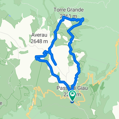
MARMOLADA Y SAN PELEGRINO
A cycling route starting in Selva di Cadore, Veneto, Italy.
Overview
About this route
Selva di Cadore, Marmolada, Canazei, San Pellegrino, Alleghe, Caprile, Selva di Cadore
- -:--
- Duration
- 96.3 km
- Distance
- 2,329 m
- Ascent
- 2,311 m
- Descent
- ---
- Avg. speed
- ---
- Max. altitude
Continue with Bikemap
Use, edit, or download this cycling route
You would like to ride MARMOLADA Y SAN PELEGRINO or customize it for your own trip? Here is what you can do with this Bikemap route:
Free features
- Save this route as favorite or in collections
- Copy & plan your own version of this route
- Split it into stages to create a multi-day tour
- Sync your route with Garmin or Wahoo
Premium features
Free trial for 3 days, or one-time payment. More about Bikemap Premium.
- Navigate this route on iOS & Android
- Export a GPX / KML file of this route
- Create your custom printout (try it for free)
- Download this route for offline navigation
Discover more Premium features.
Get Bikemap PremiumFrom our community
Other popular routes starting in Selva di Cadore
- Dolomiten Trail Cross: Etappe 4: Rif. Averau - St. Martino de Castrozza
- Distance
- 63 km
- Ascent
- 1,727 m
- Descent
- 2,641 m
- Location
- Selva di Cadore, Veneto, Italy
- MARMOLADA Y SAN PELEGRINO
- Distance
- 96.3 km
- Ascent
- 2,329 m
- Descent
- 2,311 m
- Location
- Selva di Cadore, Veneto, Italy
- Anello Passo Giau - 5 Torri
- Distance
- 10.9 km
- Ascent
- 571 m
- Descent
- 571 m
- Location
- Selva di Cadore, Veneto, Italy
- Rifugio Lusia
- Distance
- 62.3 km
- Ascent
- 2,078 m
- Descent
- 2,443 m
- Location
- Selva di Cadore, Veneto, Italy
- Tag 4 Dolo-Runde
- Distance
- 34.4 km
- Ascent
- 817 m
- Descent
- 2,243 m
- Location
- Selva di Cadore, Veneto, Italy
- Sellaronda con partenza da Santa Fosca
- Distance
- 103.8 km
- Ascent
- 2,293 m
- Descent
- 2,293 m
- Location
- Selva di Cadore, Veneto, Italy
- Staulanza- Rif Città di Fiume - Forcella Ambrizzola -Croda del Lago
- Distance
- 9.9 km
- Ascent
- 642 m
- Descent
- 376 m
- Location
- Selva di Cadore, Veneto, Italy
- Passo Giao - Passo Falzarego - St. Martin in Gsies
- Distance
- 96.9 km
- Ascent
- 1,599 m
- Descent
- 2,541 m
- Location
- Selva di Cadore, Veneto, Italy
Open it in the app