

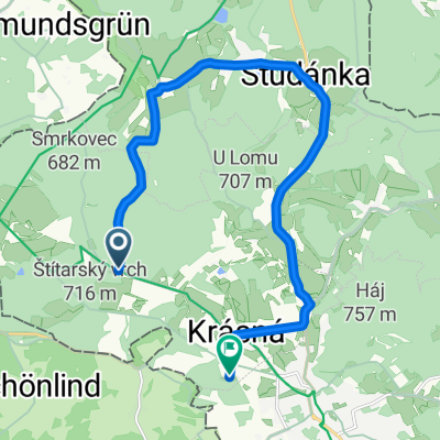
Aš - Břeclav
A cycling route starting in Aš, Karlovarský kraj, Czechia.
Overview
About this route
- -:--
- Duration
- 641.9 km
- Distance
- 2,297 m
- Ascent
- 2,781 m
- Descent
- ---
- Avg. speed
- ---
- Max. altitude

Route quality
Waytypes & surfaces along the route
Waytypes
Road
199 km
(31 %)
Track
173.3 km
(27 %)
Surfaces
Paved
282.4 km
(44 %)
Unpaved
77 km
(12 %)
Asphalt
250.3 km
(39 %)
Gravel
64.2 km
(10 %)
Route highlights
Points of interest along the route
Point of interest after 1.7 km
rota Nový Žďár
Point of interest after 13.1 km
doleva 100m rota Dubina
Point of interest after 18 km
rota pomezí
Point of interest after 40.3 km
rota Mýtina
Point of interest after 102.7 km
diana
Point of interest after 107.8 km
Železná
Point of interest after 122.6 km
ubytování
Point of interest after 126.3 km
Hraničná
Point of interest after 141.5 km
doleva 200m rota
Point of interest after 148.1 km
odbočka Bystřice
Point of interest after 148.3 km
Bystřice
Point of interest after 161.6 km
Maxov
Point of interest after 166.4 km
Všeruby
Point of interest after 169.6 km
Sruby
Point of interest after 170.9 km
doprava cca 1km rota
Point of interest after 554.6 km
doprava pěchotní srub
Continue with Bikemap
Use, edit, or download this cycling route
You would like to ride Aš - Břeclav or customize it for your own trip? Here is what you can do with this Bikemap route:
Free features
- Save this route as favorite or in collections
- Copy & plan your own version of this route
- Split it into stages to create a multi-day tour
- Sync your route with Garmin or Wahoo
Premium features
Free trial for 3 days, or one-time payment. More about Bikemap Premium.
- Navigate this route on iOS & Android
- Export a GPX / KML file of this route
- Create your custom printout (try it for free)
- Download this route for offline navigation
Discover more Premium features.
Get Bikemap PremiumFrom our community
Other popular routes starting in Aš
 Buchwald Zoiglstube
- Distance
- 22.4 km
- Ascent
- 303 m
- Descent
- 300 m
- Location
- Aš, Karlovarský kraj, Czechia
 Bismarkturm
- Distance
- 11.4 km
- Ascent
- 204 m
- Descent
- 335 m
- Location
- Aš, Karlovarský kraj, Czechia
 Ašský bláteník 2015
- Distance
- 5.7 km
- Ascent
- 173 m
- Descent
- 173 m
- Location
- Aš, Karlovarský kraj, Czechia
 Aš - Vogtland - Aš I.
- Distance
- 71 km
- Ascent
- 1,020 m
- Descent
- 1,124 m
- Location
- Aš, Karlovarský kraj, Czechia
 Aš-Kornberg-Schneeberg-Aš
- Distance
- 100.7 km
- Ascent
- 1,345 m
- Descent
- 1,369 m
- Location
- Aš, Karlovarský kraj, Czechia
 Nedělní bajkovka
- Distance
- 49.5 km
- Ascent
- 899 m
- Descent
- 821 m
- Location
- Aš, Karlovarský kraj, Czechia
 Nový soubor 1
- Distance
- 1,269.2 km
- Ascent
- 16,484 m
- Descent
- 16,464 m
- Location
- Aš, Karlovarský kraj, Czechia
 1111
1111- Distance
- 13.9 km
- Ascent
- 218 m
- Descent
- 244 m
- Location
- Aš, Karlovarský kraj, Czechia
Open it in the app