2020-09-05 4:02
- 58.3 km
- 1,227 m
- 1,229 m
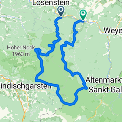
- Reichraming, Upper Austria, Austria
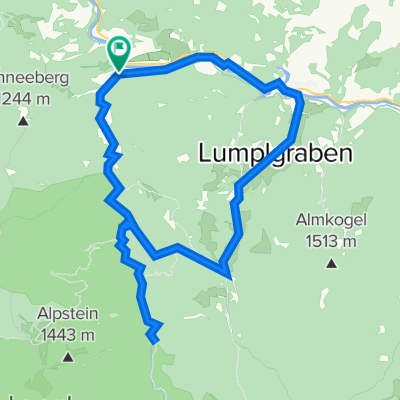
A cycling route starting in Reichraming, Upper Austria, Austria.
Overview
Stop at the Anlaufalm. All gravel road, at Anlaufalm the possibility of a short descent on the hiking trail.
Shortcuts: km 12: turn right in Brunnbach, rejoin the suggested route at km 20, thus avoiding the Rehkogel.
km 44: simply go straight along the stream, saving a small climb, rejoin the route at km 49.
created this 15 years ago
Route quality
Track
40.7 km
(72 %)
Road
11.3 km
(20 %)
Paved
0.6 km
(1 %)
Unpaved
40.2 km
(71 %)
Gravel
32.2 km
(57 %)
Unpaved (undefined)
3.4 km
(6 %)
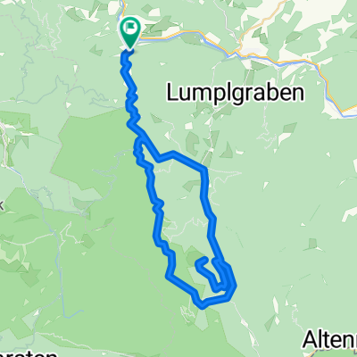
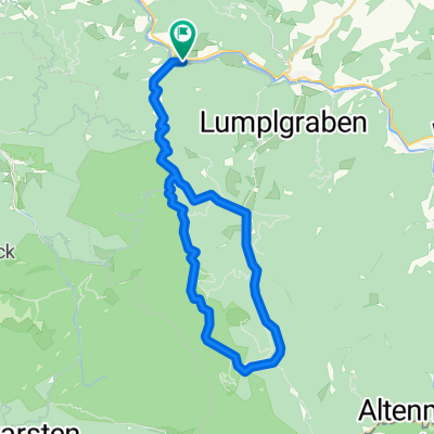
Route highlights
Hier kann ein Abkürzung nehmen
Anlaufalm --> Jausenstation
Hier kann man wieder Abkürzen. Einfach gerade aus dem Bach folgen.
Continue with Bikemap
You would like to ride Reichraming - Anlaufalm or customize it for your own trip? Here is what you can do with this Bikemap route:
Free trial for 3 days, or one-time payment. More about Bikemap Premium.
Discover more Premium features.
Get Bikemap PremiumFrom our community
Open it in the app