

gkvk jakkur
A cycling route starting in Yelahanka, Karnataka, India.
Overview
About this route
- 1 h 28 min
- Duration
- 16.8 km
- Distance
- 228 m
- Ascent
- 277 m
- Descent
- 11.5 km/h
- Avg. speed
- ---
- Max. altitude

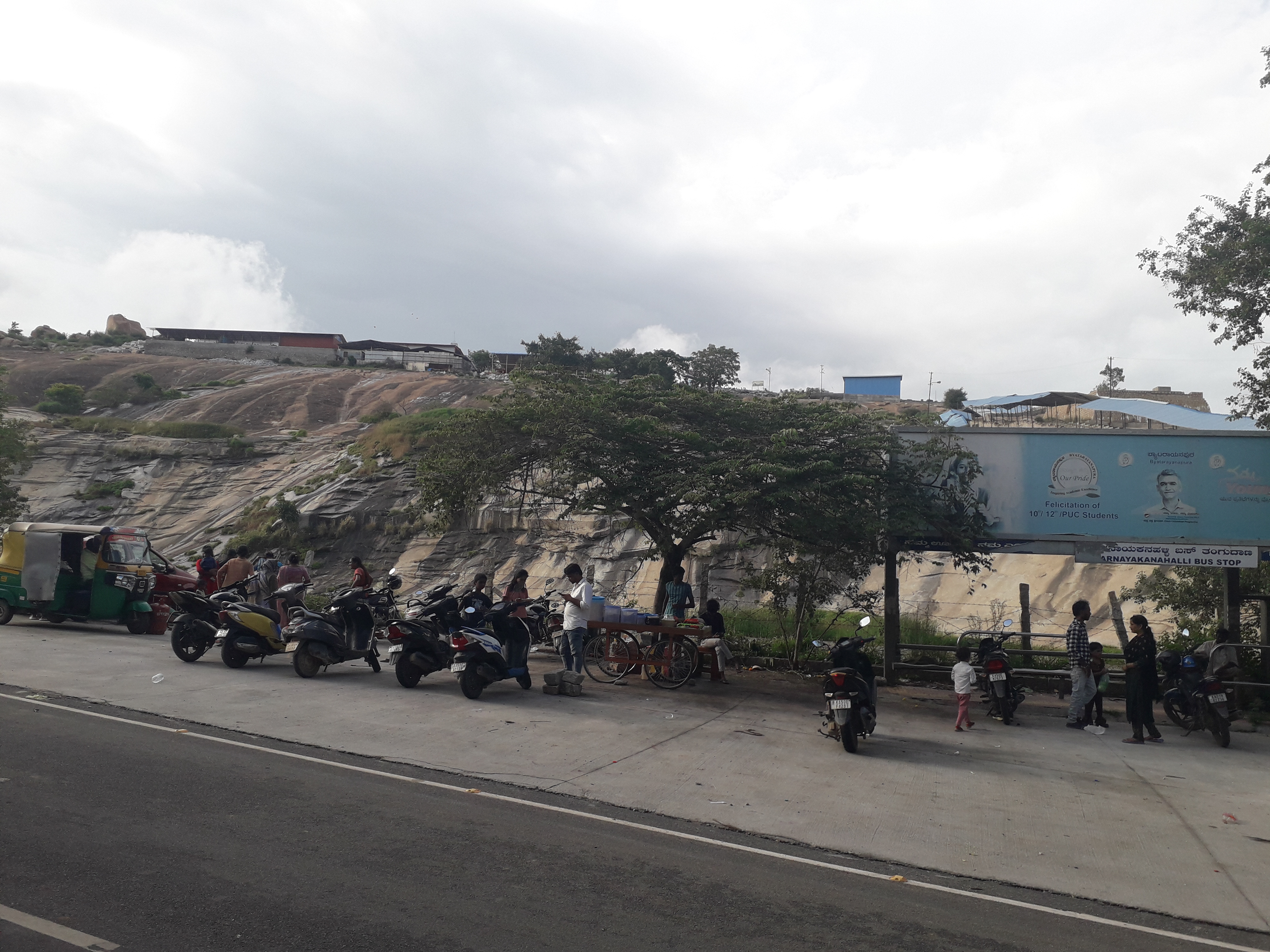
Route photos

Continue with Bikemap
Use, edit, or download this cycling route
You would like to ride gkvk jakkur or customize it for your own trip? Here is what you can do with this Bikemap route:
Free features
- Save this route as favorite or in collections
- Copy & plan your own version of this route
- Sync your route with Garmin or Wahoo
Premium features
Free trial for 3 days, or one-time payment. More about Bikemap Premium.
- Navigate this route on iOS & Android
- Export a GPX / KML file of this route
- Create your custom printout (try it for free)
- Download this route for offline navigation
Discover more Premium features.
Get Bikemap PremiumFrom our community
Other popular routes starting in Yelahanka
 gkvk jakkur
- Distance
- 16.8 km
- Ascent
- 228 m
- Descent
- 277 m
- Location
- Yelahanka, Karnataka, India
 4G4X+Q5Q, Bengaluru to Unnamed Road, Bengaluru
- Distance
- 9.4 km
- Ascent
- 187 m
- Descent
- 261 m
- Location
- Yelahanka, Karnataka, India
 Chartered Jardin to Lepakshi Veerabhadra Swamy Temple
- Distance
- 209.2 km
- Ascent
- 497 m
- Descent
- 497 m
- Location
- Yelahanka, Karnataka, India
 Manchenbele dam
- Distance
- 56.6 km
- Ascent
- 351 m
- Descent
- 378 m
- Location
- Yelahanka, Karnataka, India
 gangondhalli
- Distance
- 22.4 km
- Ascent
- 206 m
- Descent
- 201 m
- Location
- Yelahanka, Karnataka, India
 gkvk botanical
- Distance
- 11.6 km
- Ascent
- 291 m
- Descent
- 254 m
- Location
- Yelahanka, Karnataka, India
 4th Cross Road to 1st Main Road 116/A
- Distance
- 29.1 km
- Ascent
- 325 m
- Descent
- 246 m
- Location
- Yelahanka, Karnataka, India
 Sadahalli Quary
- Distance
- 57.5 km
- Ascent
- 438 m
- Descent
- 425 m
- Location
- Yelahanka, Karnataka, India
Open it in the app