

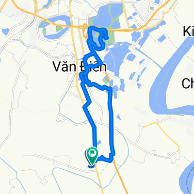
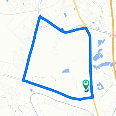
hanoi to ninh binh (forgot to turn on app tikl after maybe 30km)
A cycling route starting in Thường Tín, Hanoi, Vietnam.
Overview
About this route
- 4 h 34 min
- Duration
- 77.3 km
- Distance
- 743 m
- Ascent
- 765 m
- Descent
- 16.9 km/h
- Avg. speed
- ---
- Max. altitude

Continue with Bikemap
Use, edit, or download this cycling route
You would like to ride hanoi to ninh binh (forgot to turn on app tikl after maybe 30km) or customize it for your own trip? Here is what you can do with this Bikemap route:
Free features
- Save this route as favorite or in collections
- Copy & plan your own version of this route
- Sync your route with Garmin or Wahoo
Premium features
Free trial for 3 days, or one-time payment. More about Bikemap Premium.
- Navigate this route on iOS & Android
- Export a GPX / KML file of this route
- Create your custom printout (try it for free)
- Download this route for offline navigation
Discover more Premium features.
Get Bikemap PremiumFrom our community
Other popular routes starting in Thường Tín
 HCMC ---> Hanoi (2/2)
- Distance
- 1,300.3 km
- Ascent
- 959 m
- Descent
- 964 m
- Location
- Thường Tín, Hanoi, Vietnam
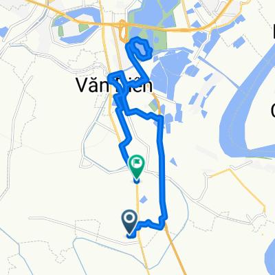 Easy ride 10.08.2025
- Distance
- 20.9 km
- Ascent
- 336 m
- Descent
- 311 m
- Location
- Thường Tín, Hanoi, Vietnam
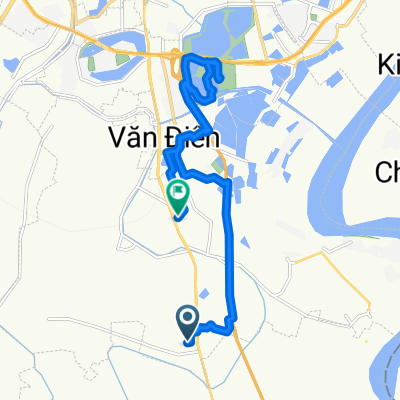 Steady ride 09.09.25
- Distance
- 19.5 km
- Ascent
- 233 m
- Descent
- 192 m
- Location
- Thường Tín, Hanoi, Vietnam
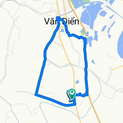 Relaxed route 08.08.2025
- Distance
- 16.2 km
- Ascent
- 173 m
- Descent
- 143 m
- Location
- Thường Tín, Hanoi, Vietnam
 Slow ride
- Distance
- 11.2 km
- Ascent
- 44 m
- Descent
- 65 m
- Location
- Thường Tín, Hanoi, Vietnam
 Easy ride 11.09.2025
- Distance
- 23 km
- Ascent
- 284 m
- Descent
- 263 m
- Location
- Thường Tín, Hanoi, Vietnam
 Slow ride 11.10.2025
- Distance
- 10.2 km
- Ascent
- 219 m
- Descent
- 181 m
- Location
- Thường Tín, Hanoi, Vietnam
 hanoi to ninh binh (forgot to turn on app tikl after maybe 30km)
- Distance
- 77.3 km
- Ascent
- 743 m
- Descent
- 765 m
- Location
- Thường Tín, Hanoi, Vietnam
Open it in the app