

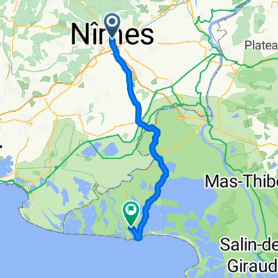
Nimes To Lausanne 465 kms
A cycling route starting in Nîmes, Occitanie, France.
Overview
About this route
Nimes to Avignon, Montelimar to Valence savouring the favourite biker wines of the Rhone. We then turn North Est following the luscious Alpine valleys to Geneva, We then cruise down the pathway alongside Lac Leman all the way to Lausanne. Quite a bit of this is up a gentle incline with a couple of sections of harder climbs up to around 500 metres.
- -:--
- Duration
- 464.7 km
- Distance
- 1,521 m
- Ascent
- 1,081 m
- Descent
- ---
- Avg. speed
- ---
- Max. altitude

Route quality
Waytypes & surfaces along the route
Waytypes
Quiet road
139.4 km
(30 %)
Road
106.9 km
(23 %)
Surfaces
Paved
218.4 km
(47 %)
Unpaved
13.9 km
(3 %)
Asphalt
204.5 km
(44 %)
Paved (undefined)
9.3 km
(2 %)
Continue with Bikemap
Use, edit, or download this cycling route
You would like to ride Nimes To Lausanne 465 kms or customize it for your own trip? Here is what you can do with this Bikemap route:
Free features
- Save this route as favorite or in collections
- Copy & plan your own version of this route
- Split it into stages to create a multi-day tour
- Sync your route with Garmin or Wahoo
Premium features
Free trial for 3 days, or one-time payment. More about Bikemap Premium.
- Navigate this route on iOS & Android
- Export a GPX / KML file of this route
- Create your custom printout (try it for free)
- Download this route for offline navigation
Discover more Premium features.
Get Bikemap PremiumFrom our community
Other popular routes starting in Nîmes
 Dia 7B - Nimes - Sete
- Distance
- 89.8 km
- Ascent
- 110 m
- Descent
- 151 m
- Location
- Nîmes, Occitanie, France
![[Stage 2 - Etoile de Besseges 2010]](https://media.bikemap.net/routes/382640/staticmaps/in_afb6f8b5-6e4b-40dd-b3f3-583cbda3d616_400x400_bikemap-2021-3D-static.png) [Stage 2 - Etoile de Besseges 2010]
[Stage 2 - Etoile de Besseges 2010]- Distance
- 146.5 km
- Ascent
- 1,145 m
- Descent
- 1,127 m
- Location
- Nîmes, Occitanie, France
 SAB 7 Nîmes Stes Maries de la mer
- Distance
- 55.9 km
- Ascent
- 66 m
- Descent
- 115 m
- Location
- Nîmes, Occitanie, France
 Etappe 2 Nîmes - Pont du Gard - Uzès
- Distance
- 41.7 km
- Ascent
- 287 m
- Descent
- 186 m
- Location
- Nîmes, Occitanie, France
 Nimes et les étangs
- Distance
- 77.9 km
- Ascent
- 151 m
- Descent
- 147 m
- Location
- Nîmes, Occitanie, France
 GIRO DELLE CEVENNES 1a TAPPA da NIMES a Mandagout
- Distance
- 125.6 km
- Ascent
- 1,188 m
- Descent
- 683 m
- Location
- Nîmes, Occitanie, France
 Stage 2 - Étoile de Bessèges 2014 - Nimes-Saint Ambroix
- Distance
- 148 km
- Ascent
- 1,254 m
- Descent
- 1,178 m
- Location
- Nîmes, Occitanie, France
 Nimes to Arles (Passed)
- Distance
- 33.8 km
- Ascent
- 86 m
- Descent
- 109 m
- Location
- Nîmes, Occitanie, France
Open it in the app