B2B00290 55109>55422 via Cty C, St Anthony Pkwy, Victory Mem Dr
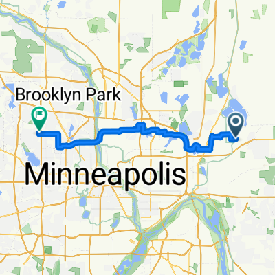
A cycling route starting in North Saint Paul, Minnesota, United States of America.
Overview
About this route
The route is long but provides some choice.
Â
If County Rd C is not that busy and you are comfortable on it, you can try staying on it the entire way, instead of looping north toward Owasso Blvd.
Â
Both St Anthony Pkwy and Victory Memorial Drive have a bike path as an option to the road (roads are supposed to have low speed limits).
- -:--
- Duration
- 30.8 km
- Distance
- 126 m
- Ascent
- 136 m
- Descent
- ---
- Avg. speed
- 291 m
- Avg. speed
Route quality
Waytypes & surfaces along the route
Waytypes
Road
17.7 km
(58 %)
Cycleway
9.2 km
(30 %)
Surfaces
Paved
21.5 km
(70 %)
Asphalt
12.9 km
(42 %)
Paved (undefined)
8 km
(26 %)
Continue with Bikemap
Use, edit, or download this cycling route
You would like to ride B2B00290 55109>55422 via Cty C, St Anthony Pkwy, Victory Mem Dr or customize it for your own trip? Here is what you can do with this Bikemap route:
Free features
- Save this route as favorite or in collections
- Copy & plan your own version of this route
- Sync your route with Garmin or Wahoo
Premium features
Free trial for 3 days, or one-time payment. More about Bikemap Premium.
- Navigate this route on iOS & Android
- Export a GPX / KML file of this route
- Create your custom printout (try it for free)
- Download this route for offline navigation
Discover more Premium features.
Get Bikemap PremiumFrom our community
Other popular routes starting in North Saint Paul
- Twin Cities Lakes and Rivers 100K
- Distance
- 118.9 km
- Ascent
- 312 m
- Descent
- 298 m
- Location
- North Saint Paul, Minnesota, United States of America
- B2B00373 55106>55108 via Bruce Vento, Gateway, Como Ave
- Distance
- 14 km
- Ascent
- 62 m
- Descent
- 57 m
- Location
- North Saint Paul, Minnesota, United States of America
- Back to St. Paul
- Distance
- 13 km
- Ascent
- 42 m
- Descent
- 59 m
- Location
- North Saint Paul, Minnesota, United States of America
- B2B00426 55119>55101 viaLarpenteur/E.Shore/Gateway/Cayuga/Jackson
- Distance
- 13 km
- Ascent
- 88 m
- Descent
- 153 m
- Location
- North Saint Paul, Minnesota, United States of America
- B2B00290 55109>55422 via Cty C, St Anthony Pkwy, Victory Mem Dr
- Distance
- 30.8 km
- Ascent
- 126 m
- Descent
- 136 m
- Location
- North Saint Paul, Minnesota, United States of America
- B2B00179 55109>55121 via Gateway, Jackson & Delaware
- Distance
- 26 km
- Ascent
- 160 m
- Descent
- 159 m
- Location
- North Saint Paul, Minnesota, United States of America
- Gateway Trail - Fleet Farm to DT Stillwater
- Distance
- 18.3 km
- Ascent
- 68 m
- Descent
- 150 m
- Location
- North Saint Paul, Minnesota, United States of America
- Brown's Creek and New Bridge
- Distance
- 22.6 km
- Ascent
- 170 m
- Descent
- 199 m
- Location
- North Saint Paul, Minnesota, United States of America
Open it in the app