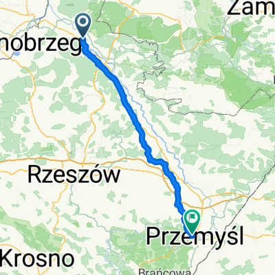
BIKE.TOUR.2014 ROZTOCZE
A cycling route starting in Stalowa Wola, Subcarpathian Voivodeship, Poland.
Overview
About this route
Tbg - Stalowa Wola Rozwad贸w PKP
Lasy Janowskie
BI艂goraj
Aleksnadr贸w
J贸zef贸w - Stanica W臋dkarska Zalew Centrum
Miszka Tatar - Kamienio艂om - kirkut
Rez. Czartowe Pole
Hamernia
J贸zef贸w
SP艁YW - Obrocz - Rudka
J贸偶ef贸w
Sm贸lsko
Nowa HUta
Nisko
Stalowa Wola
Gr臋b贸w
Tbg
聽
聽
聽
聽
- -:--
- Duration
- 236.3 km
- Distance
- 329 m
- Ascent
- 323 m
- Descent
- ---
- Avg. speed
- ---
- Avg. speed
Route photos
Route quality
Waytypes & surfaces along the route
Waytypes
Busy road
55.9 km
(24 %)
Quiet road
49 km
(21 %)
Surfaces
Paved
147.6 km
(62 %)
Unpaved
53.7 km
(23 %)
Asphalt
138 km
(58 %)
Ground
38.6 km
(16 %)
Continue with Bikemap
Use, edit, or download this cycling route
You would like to ride BIKE.TOUR.2014 ROZTOCZE or customize it for your own trip? Here is what you can do with this Bikemap route:
Free features
- Save this route as favorite or in collections
- Copy & plan your own version of this route
- Sync your route with Garmin or Wahoo
Premium features
Free trial for 3 days, or one-time payment. More about Bikemap Premium.
- Navigate this route on iOS & Android
- Export a GPX / KML file of this route
- Create your custom printout (try it for free)
- Download this route for offline navigation
Discover more Premium features.
Get Bikemap PremiumFrom our community
Other popular routes starting in Stalowa Wola
- Lengthy bike tour from 15 sierpnia, 10:03
- Distance
- 49.3 km
- Ascent
- 94 m
- Descent
- 96 m
- Location
- Stalowa Wola, Subcarpathian Voivodeship, Poland
- 104 (28/16) Stalowa Wola-Bojan贸w-Brz贸za Kr贸l.-呕o艂ynia-Mikulice-Ka艅czuga
- Distance
- 103.7 km
- Ascent
- 255 m
- Descent
- 218 m
- Location
- Stalowa Wola, Subcarpathian Voivodeship, Poland
- Aleje Jana Paw艂a II 13A, Stalowa Wola do Aleje Jana Paw艂a II 13A, Stalowa Wola
- Distance
- 9.5 km
- Ascent
- 36 m
- Descent
- 35 m
- Location
- Stalowa Wola, Subcarpathian Voivodeship, Poland
- Rowerowa trasa do PxM 2011/2012
- Distance
- 44.8 km
- Ascent
- 57 m
- Descent
- 57 m
- Location
- Stalowa Wola, Subcarpathian Voivodeship, Poland
- Kr贸tki trip po lesie
- Distance
- 55.3 km
- Ascent
- 177 m
- Descent
- 177 m
- Location
- Stalowa Wola, Subcarpathian Voivodeship, Poland
- Chwilowo nie pada wi臋c jad臋 na grzyby
- Distance
- 19.9 km
- Ascent
- 67 m
- Descent
- 67 m
- Location
- Stalowa Wola, Subcarpathian Voivodeship, Poland
- Stalowa Wola Rozwad贸w - Huta Szklana
- Distance
- 123.9 km
- Ascent
- 810 m
- Descent
- 537 m
- Location
- Stalowa Wola, Subcarpathian Voivodeship, Poland
- Wy艣mienita i wszechstronna trasa na wierczorne: bieganie/jazd臋 na rolkach/jazd臋 na rowerze.
- Distance
- 6.4 km
- Ascent
- 24 m
- Descent
- 26 m
- Location
- Stalowa Wola, Subcarpathian Voivodeship, Poland
Open it in the app