

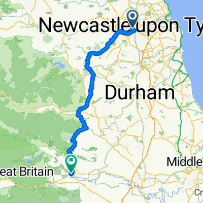
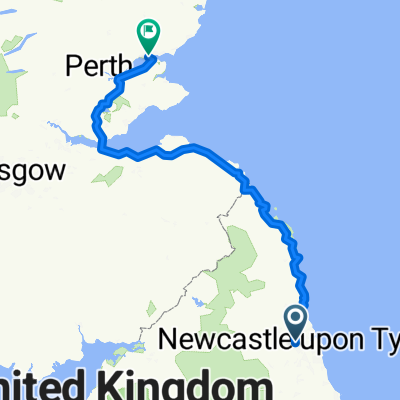
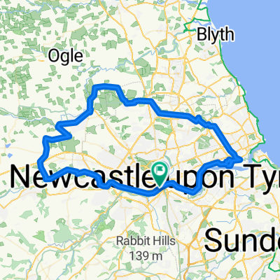
Castles and Coast
A cycling route starting in Newcastle upon Tyne, England, United Kingdom.
Overview
About this route
- -:--
- Duration
- 317 km
- Distance
- 709 m
- Ascent
- 652 m
- Descent
- ---
- Avg. speed
- ---
- Max. altitude

Route quality
Waytypes & surfaces along the route
Waytypes
Road
88.7 km
(28 %)
Quiet road
79.2 km
(25 %)
Surfaces
Paved
158.5 km
(50 %)
Unpaved
15.8 km
(5 %)
Asphalt
149 km
(47 %)
Paved (undefined)
6.3 km
(2 %)
Continue with Bikemap
Use, edit, or download this cycling route
You would like to ride Castles and Coast or customize it for your own trip? Here is what you can do with this Bikemap route:
Free features
- Save this route as favorite or in collections
- Copy & plan your own version of this route
- Split it into stages to create a multi-day tour
- Sync your route with Garmin or Wahoo
Premium features
Free trial for 3 days, or one-time payment. More about Bikemap Premium.
- Navigate this route on iOS & Android
- Export a GPX / KML file of this route
- Create your custom printout (try it for free)
- Download this route for offline navigation
Discover more Premium features.
Get Bikemap PremiumFrom our community
Other popular routes starting in Newcastle upon Tyne
 Newcastle to London : Day 1 Alt.
- Distance
- 73.1 km
- Ascent
- 1,233 m
- Descent
- 1,118 m
- Location
- Newcastle upon Tyne, England, United Kingdom
 Newcastle-Dundee
- Distance
- 336 km
- Ascent
- 937 m
- Descent
- 972 m
- Location
- Newcastle upon Tyne, England, United Kingdom
 Westgate Road 269 to Westgate Road 269
- Distance
- 12.8 km
- Ascent
- 90 m
- Descent
- 138 m
- Location
- Newcastle upon Tyne, England, United Kingdom
 Close, Newcastle Upon Tyne to Close, Newcastle Upon Tyne
- Distance
- 73.7 km
- Ascent
- 584 m
- Descent
- 588 m
- Location
- Newcastle upon Tyne, England, United Kingdom
 NCR72 2 - Newcastle to Hexham
- Distance
- 39.4 km
- Ascent
- 305 m
- Descent
- 231 m
- Location
- Newcastle upon Tyne, England, United Kingdom
 Close, Newcastle Upon Tyne to Garforth Close, Stockton-On-Tees
- Distance
- 78.1 km
- Ascent
- 623 m
- Descent
- 569 m
- Location
- Newcastle upon Tyne, England, United Kingdom
 Nuns Moor to Chopwell Woods
- Distance
- 17.7 km
- Ascent
- 236 m
- Descent
- 184 m
- Location
- Newcastle upon Tyne, England, United Kingdom
 cycle for humanity and inclusion
- Distance
- 673.4 km
- Ascent
- 4,710 m
- Descent
- 4,691 m
- Location
- Newcastle upon Tyne, England, United Kingdom
Open it in the app