

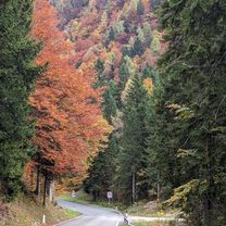
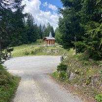
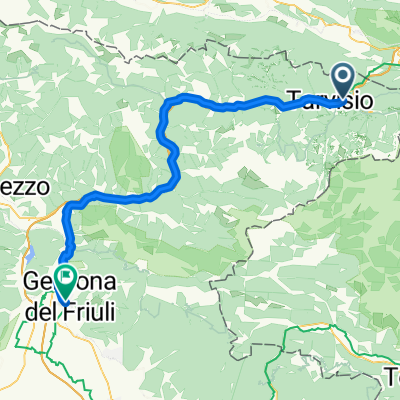
Ciclabile Alpe Adria
A cycling route starting in Tarvisio, Friuli Venezia Giulia, Italy.
Overview
About this route
Il percorso italiano dell'Alpe Adria Radweg
- -:--
- Duration
- 184.1 km
- Distance
- 201 m
- Ascent
- 932 m
- Descent
- ---
- Avg. speed
- ---
- Max. altitude

Route quality
Waytypes & surfaces along the route
Waytypes
Cycleway
73.6 km
(40 %)
Quiet road
57.1 km
(31 %)
Surfaces
Paved
149.1 km
(81 %)
Unpaved
14.7 km
(8 %)
Asphalt
145.4 km
(79 %)
Loose gravel
9.2 km
(5 %)
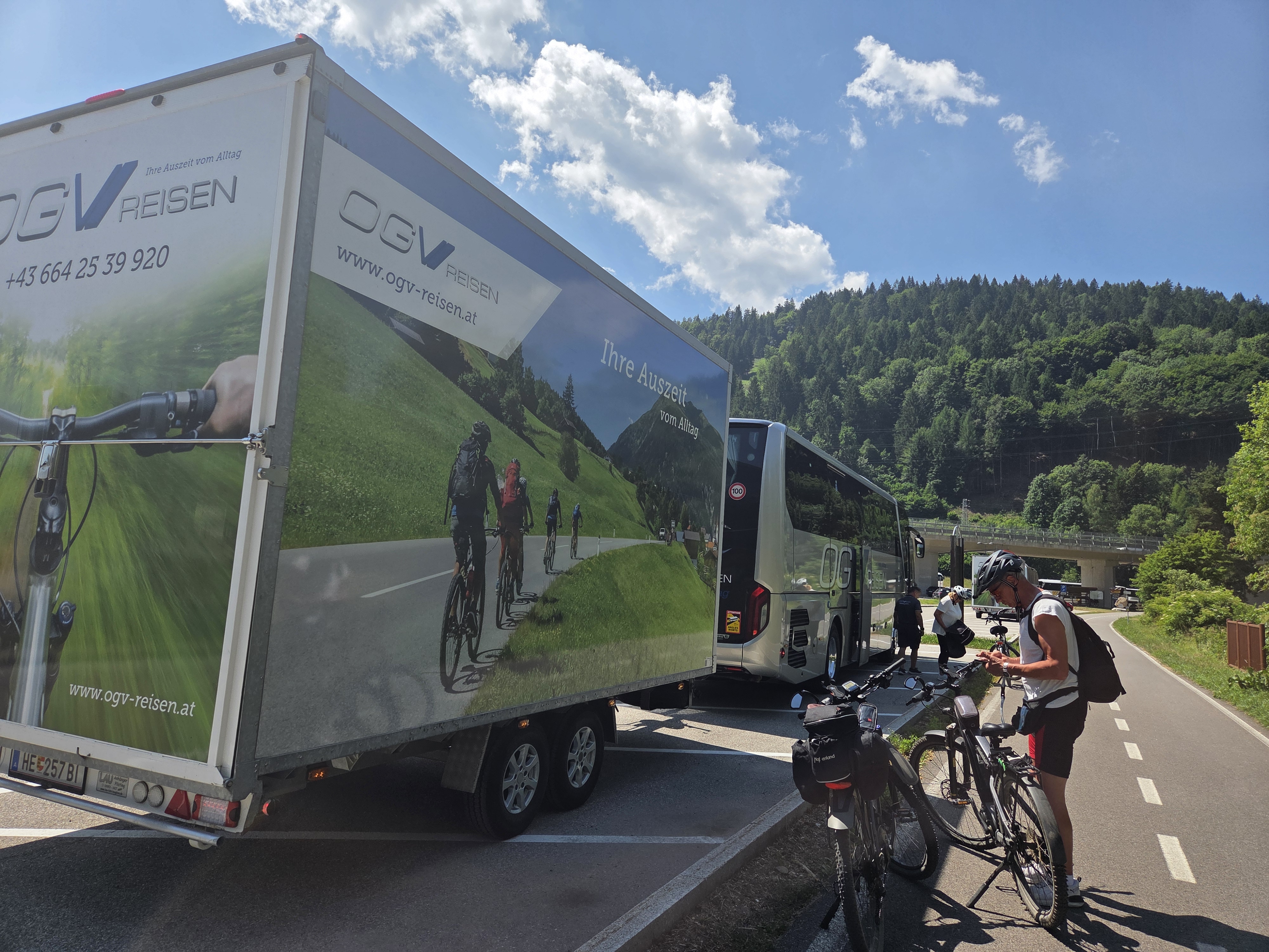
Continue with Bikemap
Use, edit, or download this cycling route
You would like to ride Ciclabile Alpe Adria or customize it for your own trip? Here is what you can do with this Bikemap route:
Free features
- Save this route as favorite or in collections
- Copy & plan your own version of this route
- Split it into stages to create a multi-day tour
- Sync your route with Garmin or Wahoo
Premium features
Free trial for 3 days, or one-time payment. More about Bikemap Premium.
- Navigate this route on iOS & Android
- Export a GPX / KML file of this route
- Create your custom printout (try it for free)
- Download this route for offline navigation
Discover more Premium features.
Get Bikemap PremiumFrom our community
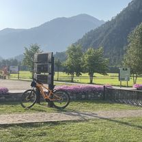
Other popular routes starting in Tarvisio
 Sella Nevea / 16.10.2025
- Distance
- 79.6 km
- Ascent
- 1,007 m
- Descent
- 1,040 m
- Location
- Tarvisio, Friuli Venezia Giulia, Italy
 Alpe-Adria: between Tarvisio and Villach
- Distance
- 31.7 km
- Ascent
- 103 m
- Descent
- 346 m
- Location
- Tarvisio, Friuli Venezia Giulia, Italy
 Via Alpi Giulie, Tarvisio a Via Alpi Giulie, Tarvisio
- Distance
- 41.3 km
- Ascent
- 1,205 m
- Descent
- 1,205 m
- Location
- Tarvisio, Friuli Venezia Giulia, Italy
 tag 1: Tarvis bis Grado
- Distance
- 67.8 km
- Ascent
- 944 m
- Descent
- 1,480 m
- Location
- Tarvisio, Friuli Venezia Giulia, Italy
 Italien nach Prešernova cesta
- Distance
- 63.7 km
- Ascent
- 446 m
- Descent
- 779 m
- Location
- Tarvisio, Friuli Venezia Giulia, Italy
 Alpe Adria trail teil 1
- Distance
- 104.9 km
- Ascent
- 1,112 m
- Descent
- 1,749 m
- Location
- Tarvisio, Friuli Venezia Giulia, Italy
 Tarvisio - Malborghetto - Tarvisio
- Distance
- 29.9 km
- Ascent
- 252 m
- Descent
- 250 m
- Location
- Tarvisio, Friuli Venezia Giulia, Italy
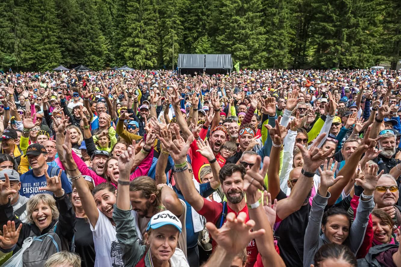 Jova Bike Concert-Pontebba
- Distance
- 34.7 km
- Ascent
- 125 m
- Descent
- 540 m
- Location
- Tarvisio, Friuli Venezia Giulia, Italy
Open it in the app