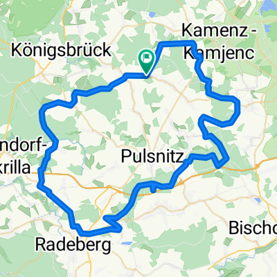
Froschteiche bei Hausdorf mit Andrea
- 42.3 km
- 281 m
- 281 m
- Haselbachtal, Saxony, Germany
A cycling route starting in Haselbachtal, Saxony, Germany.
Overview
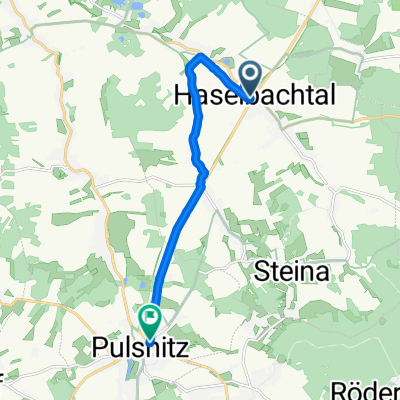
Bischheim, Hauptstr. (parking)
Schloss-Teichhaus, Moritzburg
Wednesday - Sunday from 11 AM
Closed days: Monday + Tuesday
created this 7 years ago
Route quality
Quiet road
37.3 km
(46 %)
Track
21.9 km
(27 %)
Paved
57.6 km
(71 %)
Unpaved
20.3 km
(25 %)
Asphalt
54.4 km
(67 %)
Gravel
13 km
(16 %)
Route highlights
Schloss-Teichhaus
Continue with Bikemap
You would like to ride Bischheim or customize it for your own trip? Here is what you can do with this Bikemap route:
Free trial for 3 days, or one-time payment. More about Bikemap Premium.
Discover more Premium features.
Get Bikemap PremiumFrom our community
Open it in the app