

Anello Dolomiti Antonella Vial 6a tappa
A cycling route starting in Castellavazzo, Veneto, Italy.
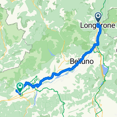
Overview
About this route
The journey along the beautiful route designed and realized by Antonella Vial, by bicycle around the mountain chain of the Dolomites, defined by "Le Corbusier" as "the most beautiful work of architecture in the world" and declared a UNESCO World Heritage Site in 2009.
We will follow the rivers Brenta, Adige, and Piave. Along the loop, we will visit Bassano del Grappa, Trento, Bolzano, Bressanone, Brunico, Dobbiaco, Cortina d'Ampezzo, Asolo, and Castelfranco, beautiful cities, authentic ancient villages. Mountains, valleys, rivers, forests, villages, a succession of wonderful landscapes where traditions and cultures are jealously preserved by their inhabitants.
- -:--
- Duration
- 86.5 km
- Distance
- 346 m
- Ascent
- 697 m
- Descent
- ---
- Avg. speed
- ---
- Max. altitude

Route quality
Waytypes & surfaces along the route
Waytypes
Quiet road
26 km
(30 %)
Road
17.3 km
(20 %)
Surfaces
Paved
52.8 km
(61 %)
Unpaved
13 km
(15 %)
Asphalt
52.8 km
(61 %)
Loose gravel
6.1 km
(7 %)
Continue with Bikemap
Use, edit, or download this cycling route
You would like to ride Anello Dolomiti Antonella Vial 6a tappa or customize it for your own trip? Here is what you can do with this Bikemap route:
Free features
- Save this route as favorite or in collections
- Copy & plan your own version of this route
- Split it into stages to create a multi-day tour
- Sync your route with Garmin or Wahoo
Premium features
Free trial for 3 days, or one-time payment. More about Bikemap Premium.
- Navigate this route on iOS & Android
- Export a GPX / KML file of this route
- Create your custom printout (try it for free)
- Download this route for offline navigation
Discover more Premium features.
Get Bikemap PremiumFrom our community
Other popular routes starting in Castellavazzo
 Longarone - Lorenzago di Cad.
- Distance
- 36.2 km
- Ascent
- 798 m
- Descent
- 369 m
- Location
- Castellavazzo, Veneto, Italy
 Day2_Longarone_Barcis_Forcella Palabarzana _Redona
- Distance
- 62.6 km
- Ascent
- 999 m
- Descent
- 1,177 m
- Location
- Castellavazzo, Veneto, Italy
 Da Malcolm Impianti Sportivi a Via Boscariz
- Distance
- 62.4 km
- Ascent
- 423 m
- Descent
- 579 m
- Location
- Castellavazzo, Veneto, Italy
 Piancavallo
- Distance
- 60.4 km
- Ascent
- 1,306 m
- Descent
- 1,442 m
- Location
- Castellavazzo, Veneto, Italy
 Anello Dolomiti Antonella Vial 6a tappa
- Distance
- 86.5 km
- Ascent
- 346 m
- Descent
- 697 m
- Location
- Castellavazzo, Veneto, Italy
 Longarone-Forner
- Distance
- 90.1 km
- Ascent
- 413 m
- Descent
- 741 m
- Location
- Castellavazzo, Veneto, Italy
 Giro di Carnia 3. Tag
- Distance
- 54 km
- Ascent
- 1,825 m
- Descent
- 1,259 m
- Location
- Castellavazzo, Veneto, Italy
 Alpago Zoldana
- Distance
- 59.2 km
- Ascent
- 188 m
- Descent
- 391 m
- Location
- Castellavazzo, Veneto, Italy
Open it in the app