Generała Augusta Fieldorfa-Nila do Drogowców
- 5.1 km
- 3 m
- 36 m
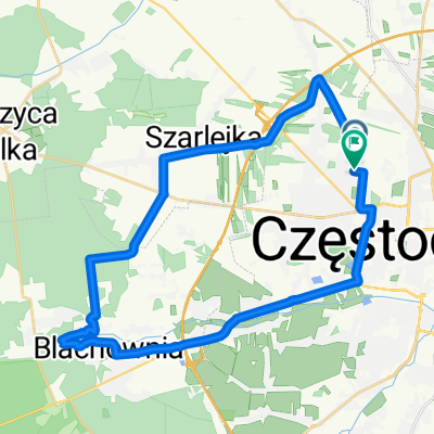
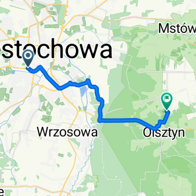
- Częstochowa, Silesian Voivodeship, Poland
A cycling route starting in Częstochowa, Silesian Voivodeship, Poland.
Overview
created this 7 years ago
Route quality
Road
62.5 km
(30 %)
Quiet road
62.5 km
(30 %)
Paved
129.1 km
(62 %)
Unpaved
41.7 km
(20 %)
Asphalt
122.9 km
(59 %)
Ground
22.9 km
(11 %)
Route highlights
Zamek w Olsztynie
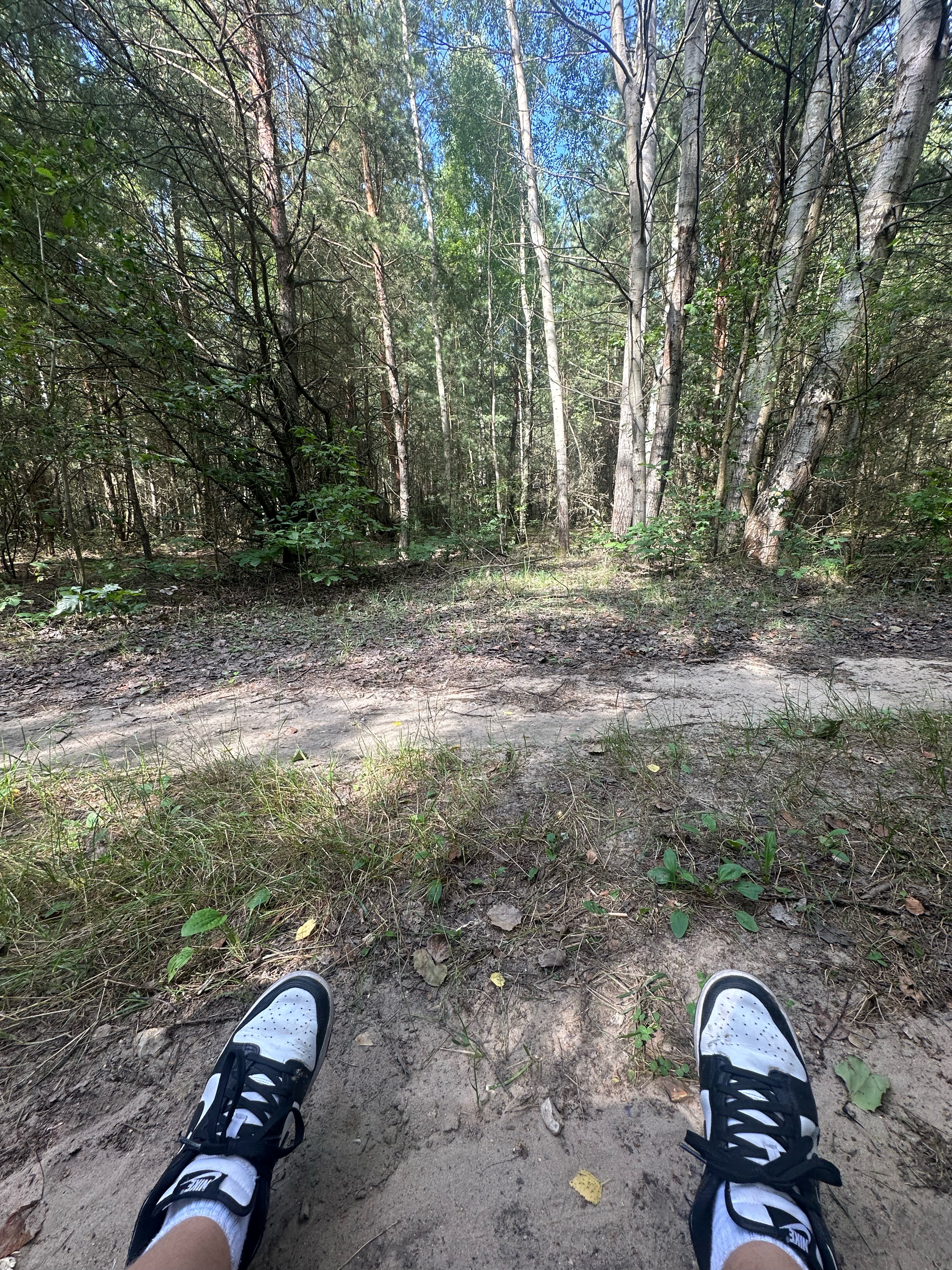
skałki górki dołki
Brama Twardowskiego
skałki Diabelskie Mosty
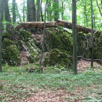
Ruiny zamku Ostrężnik
Kolejne ruiny
Zespół bunkrów II wojna światowa.
Zamek Mirów
Zamek w Bobolicach
Zamek Morsko
Gród - rekonstrukcja
Zamek w Ogrodzieńcu
Zamek Smoleń
Zamek Bydlin
Dobry punkt widokowy na Pustynię Błędowską
Zamek Rabsztyn
Zamek Pieskowa Skała
Maczuga Herkulesa
Chełmowa Góra
Jaskinia Łokietka
Continue with Bikemap
You would like to ride Embajka w jurze or customize it for your own trip? Here is what you can do with this Bikemap route:
Free trial for 3 days, or one-time payment. More about Bikemap Premium.
Discover more Premium features.
Get Bikemap PremiumFrom our community
Open it in the app