

QVGite008-ColDAspin-Arreau
A cycling route starting in Séméac, Occitanie, France.
Overview
About this route
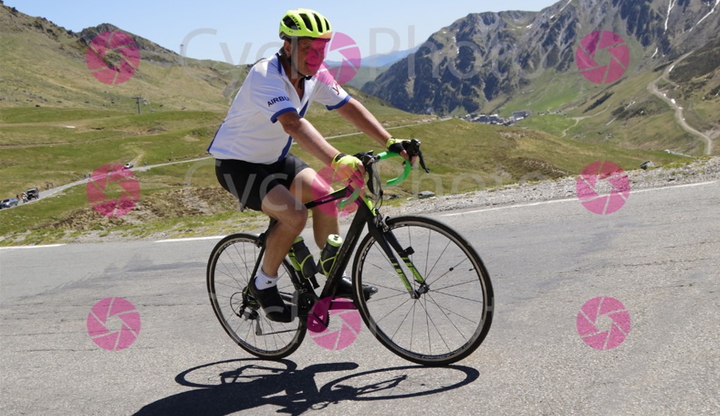
From Gite Quellevue.com. Long warm up to South via Bagneres, then classic route over Col D'Aspin and down into Arreau valley. Return via Capvern and Tournay.
- -:--
- Duration
- 111.1 km
- Distance
- 1,424 m
- Ascent
- 1,424 m
- Descent
- ---
- Avg. speed
- ---
- Max. altitude
Route quality
Waytypes & surfaces along the route
Waytypes
Busy road
82.7 km
(74 %)
Road
12.7 km
(11 %)
Surfaces
Paved
81 km
(73 %)
Unpaved
0.8 km
(<1 %)
Asphalt
81 km
(73 %)
Gravel
0.6 km
(<1 %)
Continue with Bikemap
Use, edit, or download this cycling route
You would like to ride QVGite008-ColDAspin-Arreau or customize it for your own trip? Here is what you can do with this Bikemap route:
Free features
- Save this route as favorite or in collections
- Copy & plan your own version of this route
- Split it into stages to create a multi-day tour
- Sync your route with Garmin or Wahoo
Premium features
Free trial for 3 days, or one-time payment. More about Bikemap Premium.
- Navigate this route on iOS & Android
- Export a GPX / KML file of this route
- Create your custom printout (try it for free)
- Download this route for offline navigation
Discover more Premium features.
Get Bikemap PremiumFrom our community
Other popular routes starting in Séméac
 QV Escaladieu 60/1000
- Distance
- 60.7 km
- Ascent
- 804 m
- Descent
- 804 m
- Location
- Séméac, Occitanie, France
 QV Orignac Loop 52/950
- Distance
- 53 km
- Ascent
- 824 m
- Descent
- 824 m
- Location
- Séméac, Occitanie, France
 QVGite013-Col de Coupe Circuit
- Distance
- 80 km
- Ascent
- 701 m
- Descent
- 701 m
- Location
- Séméac, Occitanie, France
 QVGite008-ColDAspin-Arreau
- Distance
- 111.1 km
- Ascent
- 1,424 m
- Descent
- 1,424 m
- Location
- Séméac, Occitanie, France
 2019 02 TARBES > FOIX
- Distance
- 117.4 km
- Ascent
- 1,112 m
- Descent
- 1,039 m
- Location
- Séméac, Occitanie, France
 QVGite001-ShortLoopNE-Castelvieilh 27-300
- Distance
- 27.3 km
- Ascent
- 360 m
- Descent
- 360 m
- Location
- Séméac, Occitanie, France
![[Tour Francia 2001 - Et. 14] Tarbes - Luz-Ardiden](https://media.bikemap.net/routes/312426/staticmaps/in_12129b85-48e3-4faf-9ae0-bba4fb93249f_400x400_bikemap-2021-3D-static.png) [Tour Francia 2001 - Et. 14] Tarbes - Luz-Ardiden
[Tour Francia 2001 - Et. 14] Tarbes - Luz-Ardiden- Distance
- 139.6 km
- Ascent
- 3,798 m
- Descent
- 2,404 m
- Location
- Séméac, Occitanie, France
 QVGite021-Croix Blanche towards Mont Aigu
- Distance
- 72.5 km
- Ascent
- 997 m
- Descent
- 997 m
- Location
- Séméac, Occitanie, France
Open it in the app