

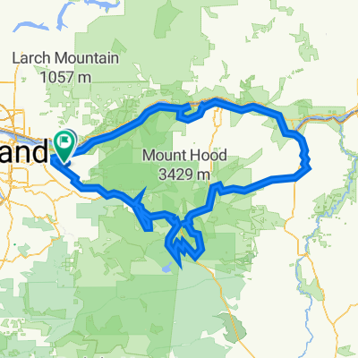
Sundial windy ride
A cycling route starting in Troutdale, Oregon, United States.
Overview
About this route
- 49 min
- Duration
- 6.7 km
- Distance
- 70 m
- Ascent
- 79 m
- Descent
- 8.2 km/h
- Avg. speed
- ---
- Max. altitude

Route quality
Waytypes & surfaces along the route
Waytypes
Cycleway
5.1 km
(76 %)
Access road
1.3 km
(19 %)
Surfaces
Paved
5.5 km
(81 %)
Paved (undefined)
5.5 km
(81 %)
Undefined
1.3 km
(19 %)
Continue with Bikemap
Use, edit, or download this cycling route
You would like to ride Sundial windy ride or customize it for your own trip? Here is what you can do with this Bikemap route:
Free features
- Save this route as favorite or in collections
- Copy & plan your own version of this route
- Sync your route with Garmin or Wahoo
Premium features
Free trial for 3 days, or one-time payment. More about Bikemap Premium.
- Navigate this route on iOS & Android
- Export a GPX / KML file of this route
- Create your custom printout (try it for free)
- Download this route for offline navigation
Discover more Premium features.
Get Bikemap PremiumFrom our community
Other popular routes starting in Troutdale
 FPW6+82V, Corbett to Southeast Oxbow Park Road 4817-3435, Gresham
- Distance
- 435.4 km
- Ascent
- 13,590 m
- Descent
- 13,583 m
- Location
- Troutdale, Oregon, United States
 31815 Historic Columbia River Hwy, Troutdale to 3110 NE 111th Dr, Portland
- Distance
- 67.4 km
- Ascent
- 47 m
- Descent
- 127 m
- Location
- Troutdale, Oregon, United States
 corbett farmland
- Distance
- 20 km
- Ascent
- 398 m
- Descent
- 428 m
- Location
- Troutdale, Oregon, United States
 Easy ride in Troutdale
- Distance
- 7.7 km
- Ascent
- 4 m
- Descent
- 4 m
- Location
- Troutdale, Oregon, United States
 Easy ride in Troutdale
- Distance
- 8.1 km
- Ascent
- 36 m
- Descent
- 36 m
- Location
- Troutdale, Oregon, United States
 Columbia River Historic Highway - Troutdale to Cascade Locks
- Distance
- 101.1 km
- Ascent
- 922 m
- Descent
- 922 m
- Location
- Troutdale, Oregon, United States
 Corbett Airbnb to Hood River Airbnb
- Distance
- 76.5 km
- Ascent
- 732 m
- Descent
- 692 m
- Location
- Troutdale, Oregon, United States
 Sundial windy ride
- Distance
- 6.7 km
- Ascent
- 70 m
- Descent
- 79 m
- Location
- Troutdale, Oregon, United States
Open it in the app