Petit Challenge du Vercors
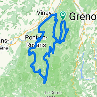
A cycling route starting in Autrans, Auvergne-Rhône-Alpes, France.
Overview
About this route
Autrans
Col de la croix perrin
Villards de lans
Herbouilly
Col du Rousset
Col de Lachau
Lente
St Jean en Royans
Presles
St Pierre de Cherennes
Col de Romeyer
Les grands goulets
Autrans
- -:--
- Duration
- 189.1 km
- Distance
- 3,243 m
- Ascent
- 3,619 m
- Descent
- ---
- Avg. speed
- 1,438 m
- Max. altitude
Route quality
Waytypes & surfaces along the route
Waytypes
Road
72.3 km
(38 %)
Busy road
69.1 km
(37 %)
Surfaces
Paved
130.7 km
(69 %)
Unpaved
9.4 km
(5 %)
Asphalt
130 km
(69 %)
Ground
3.3 km
(2 %)
Continue with Bikemap
Use, edit, or download this cycling route
You would like to ride Petit Challenge du Vercors or customize it for your own trip? Here is what you can do with this Bikemap route:
Free features
- Save this route as favorite or in collections
- Copy & plan your own version of this route
- Split it into stages to create a multi-day tour
- Sync your route with Garmin or Wahoo
Premium features
Free trial for 3 days, or one-time payment. More about Bikemap Premium.
- Navigate this route on iOS & Android
- Export a GPX / KML file of this route
- Create your custom printout (try it for free)
- Download this route for offline navigation
Discover more Premium features.
Get Bikemap PremiumFrom our community
Other popular routes starting in Autrans
- Hôtel de la Buffe, tour des plateaux Nord.
- Distance
- 46.7 km
- Ascent
- 676 m
- Descent
- 677 m
- Location
- Autrans, Auvergne-Rhône-Alpes, France
- FR - Charande - sneeuwracket 8,6
- Distance
- 8.6 km
- Ascent
- 572 m
- Descent
- 570 m
- Location
- Autrans, Auvergne-Rhône-Alpes, France
- tours du vercors cyclo
- Distance
- 263 km
- Ascent
- 4,147 m
- Descent
- 4,154 m
- Location
- Autrans, Auvergne-Rhône-Alpes, France
- Hôtel de la Buffe, tour des plateaux Nord.
- Distance
- 46.8 km
- Ascent
- 678 m
- Descent
- 679 m
- Location
- Autrans, Auvergne-Rhône-Alpes, France
- A01 Autrans Nord
- Distance
- 18.4 km
- Ascent
- 394 m
- Descent
- 392 m
- Location
- Autrans, Auvergne-Rhône-Alpes, France
- Hôtel de la Buffe Route forestière de Davière
- Distance
- 21.4 km
- Ascent
- 355 m
- Descent
- 355 m
- Location
- Autrans, Auvergne-Rhône-Alpes, France
- 22-05
- Distance
- 70.5 km
- Ascent
- 1,812 m
- Descent
- 1,987 m
- Location
- Autrans, Auvergne-Rhône-Alpes, France
- Hôtel de la Buffe Route forestière de Davière
- Distance
- 21.4 km
- Ascent
- 416 m
- Descent
- 417 m
- Location
- Autrans, Auvergne-Rhône-Alpes, France
Open it in the app