Tour d'Oléron
A cycling route starting in Saint-Denis-d’Oléron, Aquitaine-Limousin-Poitou-Charentes, France.
Overview
About this route
Oléron round trip / gravel / sentiers / route
- -:--
- Duration
- 88.7 km
- Distance
- 68 m
- Ascent
- 68 m
- Descent
- ---
- Avg. speed
- ---
- Max. altitude
Route quality
Waytypes & surfaces along the route
Waytypes
Path
18.5 km
(21 %)
Cycleway
18.1 km
(20 %)
Surfaces
Paved
29.3 km
(33 %)
Unpaved
23.2 km
(26 %)
Asphalt
28.1 km
(32 %)
Gravel
13.2 km
(15 %)
Continue with Bikemap
Use, edit, or download this cycling route
You would like to ride Tour d'Oléron or customize it for your own trip? Here is what you can do with this Bikemap route:
Free features
- Save this route as favorite or in collections
- Copy & plan your own version of this route
- Split it into stages to create a multi-day tour
- Sync your route with Garmin or Wahoo
Premium features
Free trial for 3 days, or one-time payment. More about Bikemap Premium.
- Navigate this route on iOS & Android
- Export a GPX / KML file of this route
- Create your custom printout (try it for free)
- Download this route for offline navigation
Discover more Premium features.
Get Bikemap PremiumFrom our community
Other popular routes starting in Saint-Denis-d’Oléron
- De Marais de la Borde, Saint-Georges-d'Oléron à 209 Avenue de l'Atlantique, Saint-Georges-d'Oléron
- Distance
- 15.3 km
- Ascent
- 3 m
- Descent
- 9 m
- Location
- Saint-Denis-d’Oléron, Aquitaine-Limousin-Poitou-Charentes, France
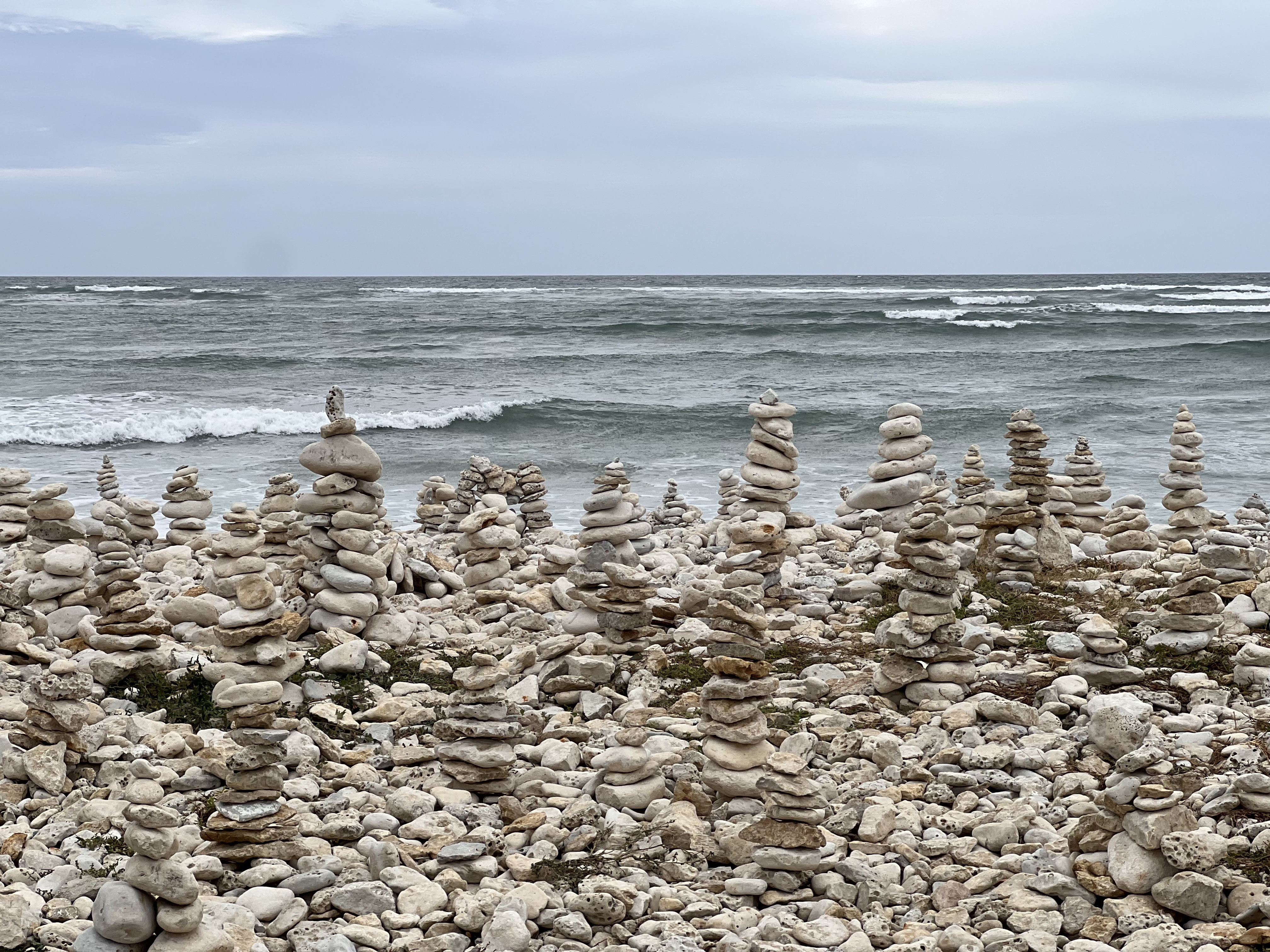
- Rue du Canot de Sauvetage, Saint-Georges-d'Oléron à Chemin de la Côte Sauvage, Saint-Denis-d'Oléron
- Distance
- 11 km
- Ascent
- 22 m
- Descent
- 25 m
- Location
- Saint-Denis-d’Oléron, Aquitaine-Limousin-Poitou-Charentes, France
- Naar Le Chassiron vuurtoren ,Gedeeltelijk gravel fietspad gedeeltelijk normale weg
- Distance
- 13.7 km
- Ascent
- 9 m
- Descent
- 9 m
- Location
- Saint-Denis-d’Oléron, Aquitaine-Limousin-Poitou-Charentes, France
- Naar Le Chassiron vuurtoren ,Gedeeltelijk gravel fietspad gedeeltelijk normale weg
- Distance
- 13.7 km
- Ascent
- 12 m
- Descent
- 12 m
- Location
- Saint-Denis-d’Oléron, Aquitaine-Limousin-Poitou-Charentes, France
- Camping La Campiére naar Boyardville door een bosrijke en afwisselende omgeving
- Distance
- 29.6 km
- Ascent
- 12 m
- Descent
- 12 m
- Location
- Saint-Denis-d’Oléron, Aquitaine-Limousin-Poitou-Charentes, France
- Itinéraire à partir de Rue des Jardins 103, Saint-Georges-d'Oléron
- Distance
- 17.7 km
- Ascent
- 132 m
- Descent
- 140 m
- Location
- Saint-Denis-d’Oléron, Aquitaine-Limousin-Poitou-Charentes, France
- Tout droit à l'intérieur Saint-Pierre-d'Oléron
- Distance
- 15.2 km
- Ascent
- 60 m
- Descent
- 60 m
- Location
- Saint-Denis-d’Oléron, Aquitaine-Limousin-Poitou-Charentes, France
- 12 C.Atlan 3- ILE DE OLERON- I DE RE
- Distance
- 117.8 km
- Ascent
- 114 m
- Descent
- 108 m
- Location
- Saint-Denis-d’Oléron, Aquitaine-Limousin-Poitou-Charentes, France
Open it in the app