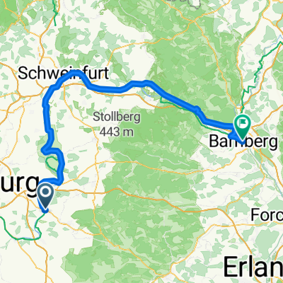
Kitzingen - Bamberg
- 114.9 km
- 171 m
- 113 m
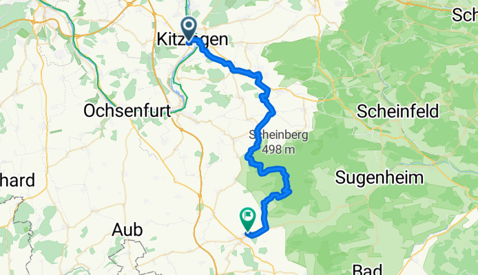
- Kitzingen, Bavaria, Germany
A cycling route starting in Kitzingen, Bavaria, Germany.
Overview
"Unterwegs im Paradies" - Angeregt durch ADFC Tour Nürnberg
created this 8 years ago
Route quality
Track
21 km
52 %
Quiet road
8.1 km
20 %
Paved
23.8 km
(59 %)
Unpaved
10.9 km
(27 %)
Asphalt
15.7 km
39 %
Gravel
8.5 km
21 %
Route highlights
Weinparadiesscheune http://www.weinparadies-scheune.de/
Schloss Frankenberg http://www.schloss-frankenberg.de/
Burgruine Hohenlandsberg
Weinberghütte Urige Weinbergshütte in toller Lage. Guter Trinkwein. Gute Vesper. Guter Kuchen.
Continue with Bikemap
You would like to ride Kitzingen - Uffenheim or customize it for your own trip? Here is what you can do with this Bikemap route:
Free trial for 3 days, or one-time payment. More about Bikemap Premium.
Discover more Premium features.
Get Bikemap PremiumFrom our community
Open it in the app