

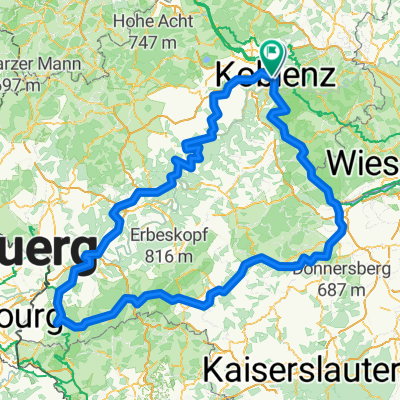
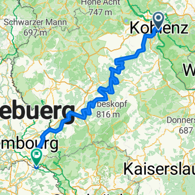
Von Mayen (Osteifel) nach Koblenz (Rhein)
A cycling route starting in Koblenz, Rhineland-Palatinate, Germany.
Overview
About this route
On old railway tracks through the Münstermaifeld to the Moselle and then to Koblenz. Returning to Mayen by regional train. This tour is suitable for families. It’s all downhill on paved bike paths and farm roads.
- -:--
- Duration
- 54.9 km
- Distance
- 421 m
- Ascent
- 223 m
- Descent
- ---
- Avg. speed
- ---
- Max. altitude

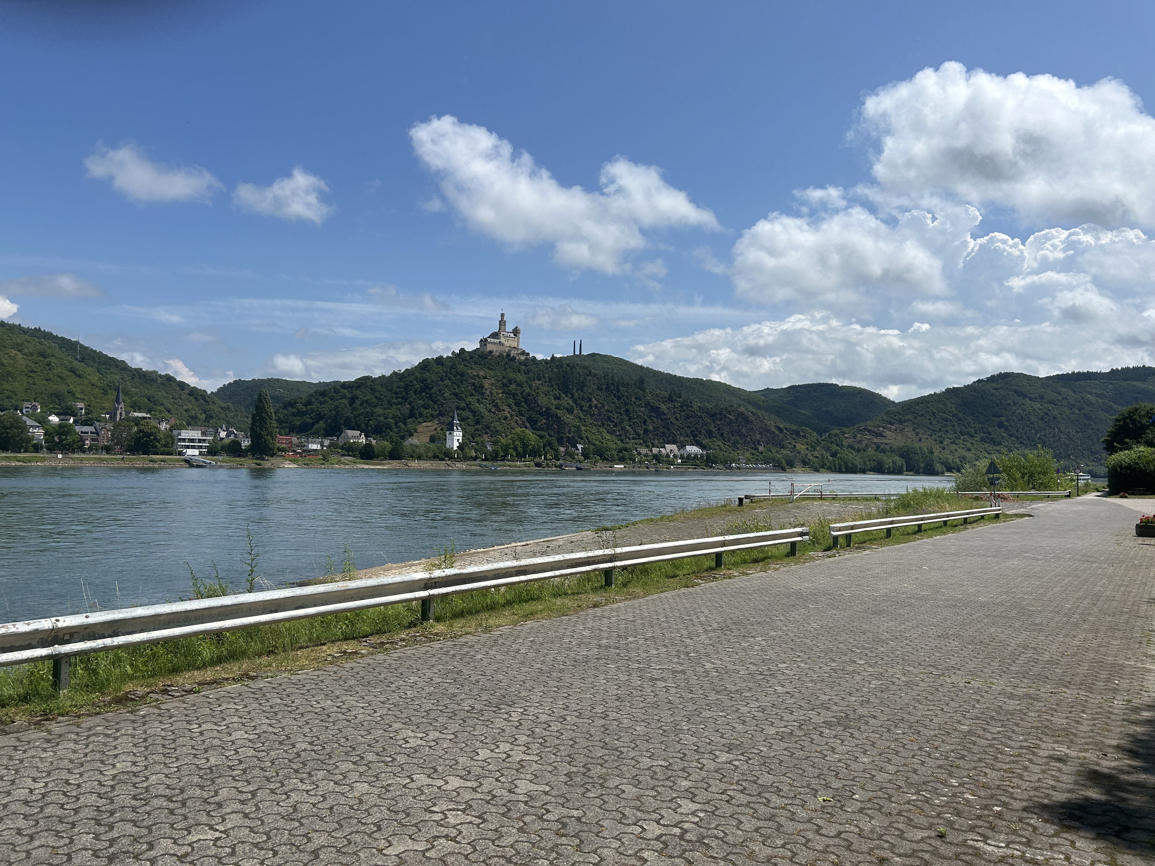
Route photos
 nach Koblenz (Rhein)\"")
 nach Koblenz (Rhein)\"")
 nach Koblenz (Rhein)\"")
 nach Koblenz (Rhein)\"")
 nach Koblenz (Rhein)\"")
 nach Koblenz (Rhein)\"")
 nach Koblenz (Rhein)\"")
 nach Koblenz (Rhein)\"")
Route quality
Waytypes & surfaces along the route
Waytypes
Path
19.2 km
(35 %)
Quiet road
12.1 km
(22 %)
Surfaces
Paved
48.9 km
(89 %)
Asphalt
45.1 km
(82 %)
Paved (undefined)
3.3 km
(6 %)
Route highlights
Points of interest along the route
Point of interest after 4.5 km
Karl Schumacher-Brücke in Koblenz.
Photo after 11.2 km
Winningen an der Mosel
Photo after 14.6 km
Autobahnbrücke A61 über die Mosel.
Photo after 17.2 km
Kobern-Gondorf an der Mosel
Photo after 31.2 km
Durch das Tal der Mühlen zur Mosel.
Photo after 35.1 km
Hinter Münstermaifeld Blick ins Moseltal.
Photo after 35.9 km
Kirche von Münstermaifeld
Photo after 37.5 km
Blick auf Münstermaifeld
Photo after 42.6 km
Am ehemaligen Bahnhof von Mertloch.
Point of interest after 46.6 km
ehemaliger Bahnhof von Polch.
Point of interest after 50.1 km
Eisenbahntunnel
Photo after 51 km
Nette-Viadukt
Photo after 54.9 km
Startpunkt der Radtour am Ostbahnhof von Mayen.
Continue with Bikemap
Use, edit, or download this cycling route
You would like to ride Von Mayen (Osteifel) nach Koblenz (Rhein) or customize it for your own trip? Here is what you can do with this Bikemap route:
Free features
- Save this route as favorite or in collections
- Copy & plan your own version of this route
- Sync your route with Garmin or Wahoo
Premium features
Free trial for 3 days, or one-time payment. More about Bikemap Premium.
- Navigate this route on iOS & Android
- Export a GPX / KML file of this route
- Create your custom printout (try it for free)
- Download this route for offline navigation
Discover more Premium features.
Get Bikemap PremiumFrom our community
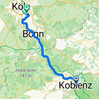
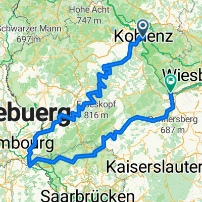
Other popular routes starting in Koblenz
 Mosel Thionville Mosel
- Distance
- 267 km
- Ascent
- 1,060 m
- Descent
- 989 m
- Location
- Koblenz, Rhineland-Palatinate, Germany
 Koblenz naar Hindenburganlage, Bingen am Rhein
- Distance
- 61.5 km
- Ascent
- 194 m
- Descent
- 168 m
- Location
- Koblenz, Rhineland-Palatinate, Germany
 Roman Gebbi
- Distance
- 417.8 km
- Ascent
- 5,302 m
- Descent
- 5,303 m
- Location
- Koblenz, Rhineland-Palatinate, Germany
- Von Mayen (Osteifel) nach Koblenz (Rhein)
- Distance
- 54.9 km
- Ascent
- 421 m
- Descent
- 223 m
- Location
- Koblenz, Rhineland-Palatinate, Germany
 Weißenthurm - Altstadt Sud
- Distance
- 94.4 km
- Ascent
- 460 m
- Descent
- 482 m
- Location
- Koblenz, Rhineland-Palatinate, Germany
 Mosel / Nahe Tour
- Distance
- 532.1 km
- Ascent
- 6,856 m
- Descent
- 6,850 m
- Location
- Koblenz, Rhineland-Palatinate, Germany
 Mosel-Radweg
- Distance
- 266.6 km
- Ascent
- 2,624 m
- Descent
- 2,533 m
- Location
- Koblenz, Rhineland-Palatinate, Germany
 moseltour trier - koblenz
- Distance
- 205.6 km
- Ascent
- 554 m
- Descent
- 483 m
- Location
- Koblenz, Rhineland-Palatinate, Germany
Open it in the app