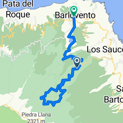
Los Tijos, Roques de los Muchachos (2,3,4)
A cycling route starting in Garachiko, Canary Islands, Spain.
Overview
About this route
- -:--
- Duration
- 43.3 km
- Distance
- 2,096 m
- Ascent
- 2,505 m
- Descent
- ---
- Avg. speed
- ---
- Avg. speed
Route highlights
Points of interest along the route
Point of interest after 15.4 km
Refugio Puntallana
Point of interest after 33.4 km
Camping San Antonio
Point of interest after 40.6 km
REfugio Tinizara
Continue with Bikemap
Use, edit, or download this cycling route
You would like to ride Los Tijos, Roques de los Muchachos (2,3,4) or customize it for your own trip? Here is what you can do with this Bikemap route:
Free features
- Save this route as favorite or in collections
- Copy & plan your own version of this route
- Sync your route with Garmin or Wahoo
Premium features
Free trial for 3 days, or one-time payment. More about Bikemap Premium.
- Navigate this route on iOS & Android
- Export a GPX / KML file of this route
- Create your custom printout (try it for free)
- Download this route for offline navigation
Discover more Premium features.
Get Bikemap PremiumFrom our community
Other popular routes starting in Garachiko
- La Palma 4
- Distance
- 13.4 km
- Ascent
- 52 m
- Descent
- 1,668 m
- Location
- Garachiko, Canary Islands, Spain
- Marcos
- Distance
- 18.1 km
- Ascent
- 731 m
- Descent
- 2,014 m
- Location
- Garachiko, Canary Islands, Spain
- Playa de Nogales
- Distance
- 14.9 km
- Ascent
- 994 m
- Descent
- 946 m
- Location
- Garachiko, Canary Islands, Spain
- Calle Fuente Pino 4, Puntallana nach Calle Los Tilos 2
- Distance
- 10.4 km
- Ascent
- 831 m
- Descent
- 744 m
- Location
- Garachiko, Canary Islands, Spain
- 13_13Tunnel
- Distance
- 11.2 km
- Ascent
- 853 m
- Descent
- 1,675 m
- Location
- Garachiko, Canary Islands, Spain
- La Palma
- Distance
- 200.4 km
- Ascent
- 515 m
- Descent
- 515 m
- Location
- Garachiko, Canary Islands, Spain
- Los Tijos, Roques de los Muchachos (2,3,4)
- Distance
- 43.3 km
- Ascent
- 2,096 m
- Descent
- 2,505 m
- Location
- Garachiko, Canary Islands, Spain
- 2SanAndres-PtoTazacorte
- Distance
- 76.4 km
- Ascent
- 1,509 m
- Descent
- 1,765 m
- Location
- Garachiko, Canary Islands, Spain
Open it in the app