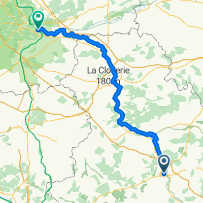
bourgogne rondje 900 km
A cycling route starting in Auxerre, Bourgogne-Franche-Comté, France.
Overview
About this route
- -:--
- Duration
- 931.1 km
- Distance
- 728 m
- Ascent
- 724 m
- Descent
- ---
- Avg. speed
- ---
- Max. altitude
Route quality
Waytypes & surfaces along the route
Waytypes
Path
307.2 km
(33 %)
Cycleway
195.5 km
(21 %)
Surfaces
Paved
567.9 km
(61 %)
Unpaved
111.7 km
(12 %)
Asphalt
521.4 km
(56 %)
Paved (undefined)
46.6 km
(5 %)
Route highlights
Points of interest along the route
Point of interest after 410.5 km
NFN Le Gîte des Chênes
Point of interest after 447.1 km
NFN La Breur (Club du Soleil Macon)
Point of interest after 457.1 km
NFN Club du Soleil de Lyon
Point of interest after 556.5 km
NFN Club du Soleil de Chalon
Point of interest after 619.3 km
Blootcamping La Gagere
Point of interest after 688.5 km
NFN Camping Borvo Naturiste
Point of interest after 821.8 km
NFN Champagne Manoir
Continue with Bikemap
Use, edit, or download this cycling route
You would like to ride bourgogne rondje 900 km or customize it for your own trip? Here is what you can do with this Bikemap route:
Free features
- Save this route as favorite or in collections
- Copy & plan your own version of this route
- Split it into stages to create a multi-day tour
- Sync your route with Garmin or Wahoo
Premium features
Free trial for 3 days, or one-time payment. More about Bikemap Premium.
- Navigate this route on iOS & Android
- Export a GPX / KML file of this route
- Create your custom printout (try it for free)
- Download this route for offline navigation
Discover more Premium features.
Get Bikemap PremiumFrom our community
Other popular routes starting in Auxerre
 Auxerre - Nevers
- Distance
- 213.5 km
- Ascent
- 678 m
- Descent
- 600 m
- Location
- Auxerre, Bourgogne-Franche-Comté, France
 From Sens to Samoreau
- Distance
- 129.4 km
- Ascent
- 250 m
- Descent
- 307 m
- Location
- Auxerre, Bourgogne-Franche-Comté, France
 Jakobsweg_10: Auxerre - Vézelay
- Distance
- 60.3 km
- Ascent
- 565 m
- Descent
- 371 m
- Location
- Auxerre, Bourgogne-Franche-Comté, France
 Tour de France 2017 Stage 20 ITT
- Distance
- 32.7 km
- Ascent
- 354 m
- Descent
- 352 m
- Location
- Auxerre, Bourgogne-Franche-Comté, France
 bourgogne rondje 900 km
- Distance
- 931.1 km
- Ascent
- 728 m
- Descent
- 724 m
- Location
- Auxerre, Bourgogne-Franche-Comté, France
 15 16 Auxerre to Tonnerre
- Distance
- 74.4 km
- Ascent
- 178 m
- Descent
- 146 m
- Location
- Auxerre, Bourgogne-Franche-Comté, France
 Canal du Nivernais with POI
- Distance
- 183.2 km
- Ascent
- 331 m
- Descent
- 237 m
- Location
- Auxerre, Bourgogne-Franche-Comté, France
 Quai de la Marine, Auxerre to rest. du canal ,Migennes
- Distance
- 25.4 km
- Ascent
- 40 m
- Descent
- 58 m
- Location
- Auxerre, Bourgogne-Franche-Comté, France
Open it in the app


