

Tour du Médoc et de l'Estuaire
A cycling route starting in Saint-Georges-de-Didonne, Nouvelle-Aquitaine, France.
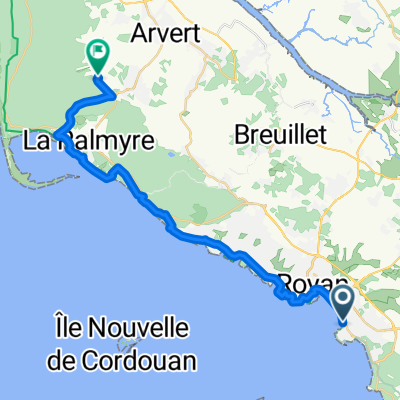
Overview
About this route
By the coast, Margaux, Blaye - 3 quiet days
The local road between Salaunes and Avensan is narrow and frequented by reckless drivers.
The D2 towards Margaux is busy. But the "Route de l'Estuaire" between Margaux and Lamarque is impassable in spring (flooded).
Same after Blaye: avoid the Marais, take the cycle path through Etauliers, St-Ciers, St-Bonnet, St-Sorlin.
- -:--
- Duration
- 361.7 km
- Distance
- 139 m
- Ascent
- 131 m
- Descent
- ---
- Avg. speed
- ---
- Max. altitude

Route quality
Waytypes & surfaces along the route
Waytypes
Quiet road
119.4 km
(33 %)
Cycleway
112.1 km
(31 %)
Surfaces
Paved
141.1 km
(39 %)
Unpaved
7.2 km
(2 %)
Asphalt
123 km
(34 %)
Paved (undefined)
14.5 km
(4 %)
Continue with Bikemap
Use, edit, or download this cycling route
You would like to ride Tour du Médoc et de l'Estuaire or customize it for your own trip? Here is what you can do with this Bikemap route:
Free features
- Save this route as favorite or in collections
- Copy & plan your own version of this route
- Split it into stages to create a multi-day tour
- Sync your route with Garmin or Wahoo
Premium features
Free trial for 3 days, or one-time payment. More about Bikemap Premium.
- Navigate this route on iOS & Android
- Export a GPX / KML file of this route
- Create your custom printout (try it for free)
- Download this route for offline navigation
Discover more Premium features.
Get Bikemap PremiumFrom our community
Other popular routes starting in Saint-Georges-de-Didonne
 26Saint_Laurent_Le_Verdon
- Distance
- 61 km
- Ascent
- 90 m
- Descent
- 81 m
- Location
- Saint-Georges-de-Didonne, Nouvelle-Aquitaine, France
 Snail-Like Donnerstag Route In Saint-Georges-De-Didonne Tag 2
- Distance
- 28.2 km
- Ascent
- 371 m
- Descent
- 370 m
- Location
- Saint-Georges-de-Didonne, Nouvelle-Aquitaine, France
 Rue du Soleil Couchant, Saint-Georges-de-Didonne à Les Mathes
- Distance
- 28 km
- Ascent
- 116 m
- Descent
- 117 m
- Location
- Saint-Georges-de-Didonne, Nouvelle-Aquitaine, France
 royan - hourtin plage
- Distance
- 49.2 km
- Ascent
- 112 m
- Descent
- 94 m
- Location
- Saint-Georges-de-Didonne, Nouvelle-Aquitaine, France
 royan - montalivet-les-bains
- Distance
- 30.5 km
- Ascent
- 78 m
- Descent
- 69 m
- Location
- Saint-Georges-de-Didonne, Nouvelle-Aquitaine, France
 royan - montalivet-les-bains
- Distance
- 34.3 km
- Ascent
- 78 m
- Descent
- 77 m
- Location
- Saint-Georges-de-Didonne, Nouvelle-Aquitaine, France
 Tour de Gironde Stage 1: ITT: Le Verdon-sur-Mer - Les Eyres
- Distance
- 24.6 km
- Ascent
- 38 m
- Descent
- 34 m
- Location
- Saint-Georges-de-Didonne, Nouvelle-Aquitaine, France
 royan - soulac-sur-mer/des pins
- Distance
- 14.1 km
- Ascent
- 46 m
- Descent
- 34 m
- Location
- Saint-Georges-de-Didonne, Nouvelle-Aquitaine, France
Open it in the app