

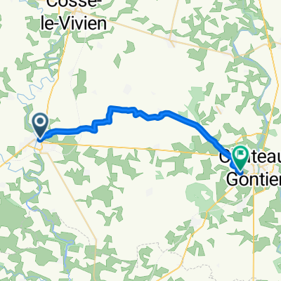
Craon Montjean
A cycling route starting in Craon, Pays de la Loire Region, France.
Overview
About this route
- -:--
- Duration
- 59.7 km
- Distance
- 287 m
- Ascent
- 315 m
- Descent
- ---
- Avg. speed
- ---
- Max. altitude

Route quality
Waytypes & surfaces along the route
Waytypes
Quiet road
22.1 km
(37 %)
Road
13.1 km
(22 %)
Surfaces
Paved
11.9 km
(20 %)
Unpaved
0.6 km
(1 %)
Asphalt
11.9 km
(20 %)
Gravel
0.6 km
(1 %)
Undefined
47.2 km
(79 %)
Continue with Bikemap
Use, edit, or download this cycling route
You would like to ride Craon Montjean or customize it for your own trip? Here is what you can do with this Bikemap route:
Free features
- Save this route as favorite or in collections
- Copy & plan your own version of this route
- Sync your route with Garmin or Wahoo
Premium features
Free trial for 3 days, or one-time payment. More about Bikemap Premium.
- Navigate this route on iOS & Android
- Export a GPX / KML file of this route
- Create your custom printout (try it for free)
- Download this route for offline navigation
Discover more Premium features.
Get Bikemap PremiumFrom our community
Other popular routes starting in Craon
 Stage 5 Craon to Chalonnes sur Loire
- Distance
- 65 km
- Ascent
- 526 m
- Descent
- 556 m
- Location
- Craon, Pays de la Loire Region, France
 Day 2
Day 2- Distance
- 115.6 km
- Ascent
- 240 m
- Descent
- 237 m
- Location
- Craon, Pays de la Loire Region, France
 De Place de l'Église à Impasse de la Loquee
- Distance
- 23.2 km
- Ascent
- 129 m
- Descent
- 127 m
- Location
- Craon, Pays de la Loire Region, France
 Route de Livre 14, Niafles to Rue Notre Dame de la Salette 21, Saint-Michel-de-la-Roë
- Distance
- 12.6 km
- Ascent
- 87 m
- Descent
- 62 m
- Location
- Craon, Pays de la Loire Region, France
 Craon to Challones sur Loire
- Distance
- 66.6 km
- Ascent
- 296 m
- Descent
- 325 m
- Location
- Craon, Pays de la Loire Region, France
 Route de Nantes 47, Craon naar Les Flecheres 641, Saint-Martin-du-Limet
- Distance
- 14.8 km
- Ascent
- 179 m
- Descent
- 195 m
- Location
- Craon, Pays de la Loire Region, France
 Iszkaszentgyörgy - Craon
- Distance
- 1,770.3 km
- Ascent
- 1,305 m
- Descent
- 1,234 m
- Location
- Craon, Pays de la Loire Region, France
 De Place de l'Église à Avenue Carnot
- Distance
- 23.1 km
- Ascent
- 114 m
- Descent
- 105 m
- Location
- Craon, Pays de la Loire Region, France
Open it in the app