
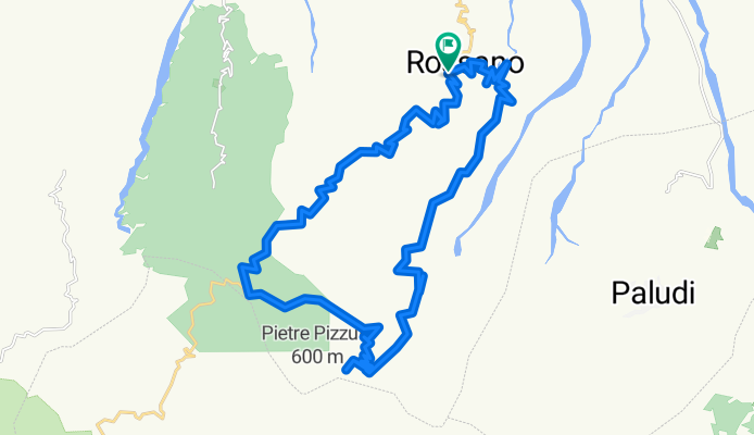
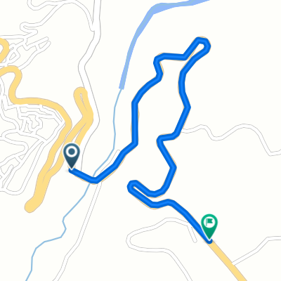
Rossano tra monti e colline. Traforo - San. Onofrio-Crocicchia- Traforo
A cycling route starting in Rossano, Calabria, Italy.
Overview
About this route
- 4 h 41 min
- Duration
- 36.4 km
- Distance
- 1,336 m
- Ascent
- 1,315 m
- Descent
- 7.8 km/h
- Avg. speed
- ---
- Max. altitude

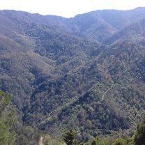
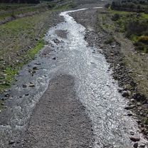
Route photos


Continue with Bikemap
Use, edit, or download this cycling route
You would like to ride Rossano tra monti e colline. Traforo - San. Onofrio-Crocicchia- Traforo or customize it for your own trip? Here is what you can do with this Bikemap route:
Free features
- Save this route as favorite or in collections
- Copy & plan your own version of this route
- Sync your route with Garmin or Wahoo
Premium features
Free trial for 3 days, or one-time payment. More about Bikemap Premium.
- Navigate this route on iOS & Android
- Export a GPX / KML file of this route
- Create your custom printout (try it for free)
- Download this route for offline navigation
Discover more Premium features.
Get Bikemap PremiumFrom our community
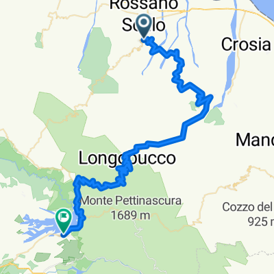
Other popular routes starting in Rossano
 Rossano tra monti e colline. Traforo - San. Onofrio-Crocicchia- Traforo
- Distance
- 36.4 km
- Ascent
- 1,336 m
- Descent
- 1,315 m
- Location
- Rossano, Calabria, Italy
 Rossano tra mare e colline
- Distance
- 30.8 km
- Ascent
- 534 m
- Descent
- 543 m
- Location
- Rossano, Calabria, Italy
 Rossano - Lago cecita
- Distance
- 74.8 km
- Ascent
- 1,758 m
- Descent
- 912 m
- Location
- Rossano, Calabria, Italy
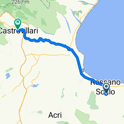 Rossano-Castrovillari-v3
- Distance
- 60.9 km
- Ascent
- 687 m
- Descent
- 547 m
- Location
- Rossano, Calabria, Italy
 SMG-1443mt
- Distance
- 1.4 km
- Ascent
- 109 m
- Descent
- 41 m
- Location
- Rossano, Calabria, Italy
Open it in the app