


Villaluenga de la Sagra - Pantoja - Yeles - Illescas - Numancia de la Sagra - Yuncler -Villaluenga de la Sagra
- 41.7 km
- 172 m
- 172 m
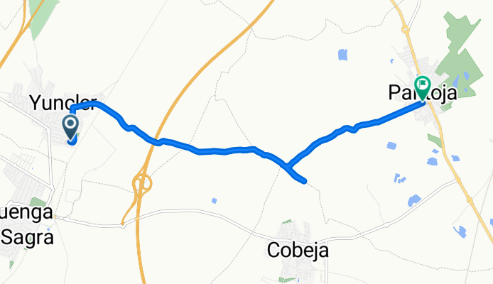
- Yuncler, Castille-La Mancha, Spain
A cycling route starting in Yuncler, Castille-La Mancha, Spain.
Overview
created this 7 years ago

Route quality
Track
5.5 km
(75 %)
Quiet road
1.8 km
(25 %)
Paved
0.5 km
(7 %)
Unpaved
2.1 km
(29 %)
Ground
2.1 km
(29 %)
Asphalt
0.5 km
(7 %)
Undefined
4.7 km
(64 %)
Continue with Bikemap
You would like to ride empieza la temporada or customize it for your own trip? Here is what you can do with this Bikemap route:
Free trial for 3 days, or one-time payment. More about Bikemap Premium.
Discover more Premium features.
Get Bikemap PremiumFrom our community
Open it in the app


