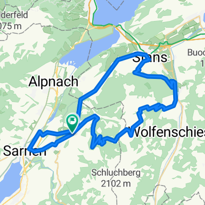
Kerns, Sarnen, Giswil, Lungern und zurück
- 45.2 km
- 542 m
- 536 m
- Kerns, Canton of Obwalden, Switzerland

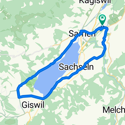
Quiet road
5 km25 %Road
3.6 km18 %Paved
10.9 km(54 %)Unpaved
2 km(10 %)Asphalt
10.5 km52 %Gravel
2 km10 %Free trial for 3 days, or one-time payment. More about Bikemap Premium.
Discover more Premium features.
Get Bikemap PremiumOpen it in the app