Marbach - Wüstenrot und zurück
- 74.4 km
- 1,136 m
- 1,129 m
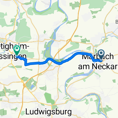
- Marbach am Neckar, Baden-Wurttemberg, Germany
A cycling route starting in Marbach am Neckar, Baden-Wurttemberg, Germany.
Overview
Intermediate stage between km 12 and 19 at an elevation of 7 km. With a nearly 2 km climb and then 3 short ascents of a few and several hundred meters, otherwise flat
created this 7 years ago
Route quality
Track
8.6 km
(28 %)
Quiet road
6.2 km
(20 %)
Paved
25 km
(81 %)
Unpaved
4 km
(13 %)
Asphalt
24.7 km
(80 %)
Ground
2.2 km
(7 %)
Route highlights
Gasthaus Bruddler mit Biergarten http://www.gasthaus-bruddler.de/
Ochsen, Hauptstrasse 16 Hausmannskost http://www.landmetzgerei-knapp.de/html/gasthof.html
Biergarten Forsthof https://forsthof-hotel.de/events/24-feiern/raeume/der-biergarten
Gaumenfreuden Gaststätte am Bahnhöfle Mit Biergarten ab 15 Uhr http://www.gaumenfreuden-kleinbottwar.de/
Freibad Steinheim Wellarium http://gvv-freibad.de/
Vereinsheim TSG Steinheim http://www.tsg-steinheim.de/
Imbiss im Garnituren Alter Bahnof
Biergarten Bootsanlegestelle http://www.bootshaus-marbach.de/
Ankunft und Abfahrt S Bahn
Continue with Bikemap
You would like to ride 000_30km_09-Radler_Marb-Steinh-Kiberg-Rielingsh-Klbottw Steinh Marb or customize it for your own trip? Here is what you can do with this Bikemap route:
Free trial for 3 days, or one-time payment. More about Bikemap Premium.
Discover more Premium features.
Get Bikemap PremiumFrom our community
Open it in the app