


B2B00202 55082>55408viaHwy96,Gateway,Como,Greenway
- 48.6 km
- 223 m
- 182 m
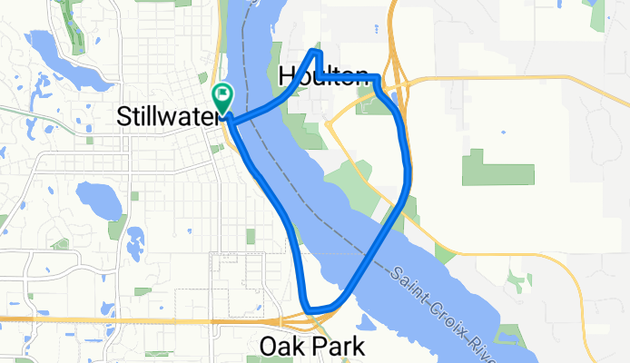
- Stillwater, Minnesota, United States
A cycling route starting in Stillwater, Minnesota, United States.
Overview
created this 7 years ago
Continue with Bikemap
You would like to ride St. Croix River Crossing Loop Trail or customize it for your own trip? Here is what you can do with this Bikemap route:
Free trial for 3 days, or one-time payment. More about Bikemap Premium.
Discover more Premium features.
Get Bikemap PremiumFrom our community
Open it in the app


