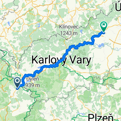
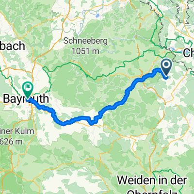
4. Tag Waldsassen-Königsfeld
A cycling route starting in Waldsassen, Bavaria, Germany.
Overview
About this route
- -:--
- Duration
- 108.8 km
- Distance
- 800 m
- Ascent
- 829 m
- Descent
- ---
- Avg. speed
- ---
- Max. altitude
Route quality
Waytypes & surfaces along the route
Waytypes
Track
26.1 km
(24 %)
Quiet road
22.9 km
(21 %)
Surfaces
Paved
67.5 km
(62 %)
Unpaved
25 km
(23 %)
Asphalt
53.3 km
(49 %)
Gravel
17.4 km
(16 %)
Route highlights
Points of interest along the route
Point of interest after 25.9 km
4. Tag 1. Pause Papamobil
Point of interest after 56.2 km
Mittagspause
Point of interest after 79.1 km
3. Pause Papamobil
Accommodation after 108.8 km
Ankunft 4. Tag
Point of interest after 108.8 km
Abendessen
Continue with Bikemap
Use, edit, or download this cycling route
You would like to ride 4. Tag Waldsassen-Königsfeld or customize it for your own trip? Here is what you can do with this Bikemap route:
Free features
- Save this route as favorite or in collections
- Copy & plan your own version of this route
- Split it into stages to create a multi-day tour
- Sync your route with Garmin or Wahoo
Premium features
Free trial for 3 days, or one-time payment. More about Bikemap Premium.
- Navigate this route on iOS & Android
- Export a GPX / KML file of this route
- Create your custom printout (try it for free)
- Download this route for offline navigation
Discover more Premium features.
Get Bikemap PremiumFrom our community
Other popular routes starting in Waldsassen
- Egergrabenradweg EGW
- Distance
- 79.2 km
- Ascent
- ---
- Descent
- ---
- Location
- Waldsassen, Bavaria, Germany
- Wald - Tirsch
- Distance
- 17.5 km
- Ascent
- 146 m
- Descent
- 135 m
- Location
- Waldsassen, Bavaria, Germany
- KonersreutBürgerreut
- Distance
- 71.4 km
- Ascent
- 343 m
- Descent
- 590 m
- Location
- Waldsassen, Bavaria, Germany
- 2. Teil Furth i.Wald - Cossebaude
- Distance
- 133.9 km
- Ascent
- 1,768 m
- Descent
- 1,699 m
- Location
- Waldsassen, Bavaria, Germany
- Kleine Heimtarunde
- Distance
- 32 km
- Ascent
- 437 m
- Descent
- 438 m
- Location
- Waldsassen, Bavaria, Germany
- Rund um Waldsassen
- Distance
- 25.5 km
- Ascent
- 250 m
- Descent
- 246 m
- Location
- Waldsassen, Bavaria, Germany
- Rund um Mitterteich
- Distance
- 34 km
- Ascent
- 375 m
- Descent
- 381 m
- Location
- Waldsassen, Bavaria, Germany
- Egerer Stausee
- Distance
- 39.7 km
- Ascent
- 228 m
- Descent
- 230 m
- Location
- Waldsassen, Bavaria, Germany
Open it in the app