France Ultime : Belfort - Les Rousses
- 214.3 km
- 1,500 m
- 2,208 m
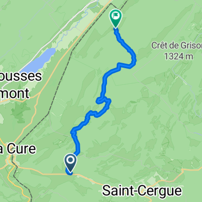
- Saint-Cergue, Canton of Vaud, Switzerland
A cycling route starting in Saint-Cergue, Canton of Vaud, Switzerland.
Overview
created this 7 years ago
Route quality
Road
85 km
(35 %)
Quiet road
41.3 km
(17 %)
Paved
153.1 km
(63 %)
Unpaved
7.3 km
(3 %)
Asphalt
150.6 km
(62 %)
Gravel
7.3 km
(3 %)
Route highlights
übernachten do-fr https://www.eolienne.net/ http://www.hotel-jura.biz/ https://www.logishotels.com/fr/hotel/auberge-du-herisson-2448?partid=661
etappenort fr-sa: http://www.legrandjardin.fr/ http://www.lagrangeanicolas.com/ http://les3cloches.fr/chambresdhotes/ >> sonst nach Lons le sauniers
zug nach pontarlier
etappenort sa-so ??
Continue with Bikemap
You would like to ride JuraTotal or customize it for your own trip? Here is what you can do with this Bikemap route:
Free trial for 3 days, or one-time payment. More about Bikemap Premium.
Discover more Premium features.
Get Bikemap PremiumFrom our community
Open it in the app