2011-07-16 Harthau-Jeschken-Südumfahrung-Bedrichov-Isergebirge
- 143.1 km
- 1,785 m
- 1,789 m
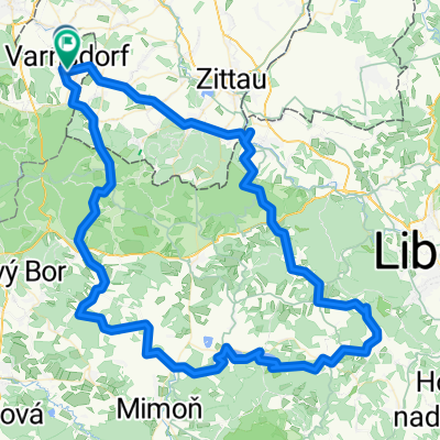
- Varnsdorf, Ústecký kraj, Czechia
A cycling route starting in Varnsdorf, Ústecký kraj, Czechia.
Overview
Trip to Hrazený and Tanečnici
created this 7 years ago
Route quality
Track
21.7 km
(34 %)
Road
15.3 km
(24 %)
Paved
21.1 km
(33 %)
Unpaved
21.7 km
(34 %)
Asphalt
18.5 km
(29 %)
Gravel
10.9 km
(17 %)
Route highlights

Prameny Mandavy (uzavřené!) :(

Zelený kříž a menhir

Hrazený-Bienertův kříž

Staré Hraběcí-kaple

Salmov-kaple (bohužel neudržovaná)

Tanečnice-rozhledna

Kostelní cesta-rozcestí

osada Kopec-Hospoda U Oty
Continue with Bikemap
You would like to ride Výlet na Hrazený a Tanečnici or customize it for your own trip? Here is what you can do with this Bikemap route:
Free trial for 3 days, or one-time payment. More about Bikemap Premium.
Discover more Premium features.
Get Bikemap PremiumFrom our community
Open it in the app