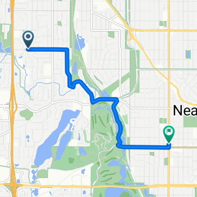
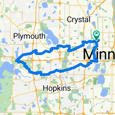
Adventure Ride #1
A cycling route starting in Golden Valley, Minnesota, United States of America.
Overview
About this route
Work as a team
-
Track route via Strava
-
Take 4 photos of team at destination and bring back 2 facts about destination that are significant to your group.
-
Have fun!
- -:--
- Duration
- 19.6 km
- Distance
- 92 m
- Ascent
- 92 m
- Descent
- ---
- Avg. speed
- ---
- Avg. speed
Continue with Bikemap
Use, edit, or download this cycling route
You would like to ride Adventure Ride #1 or customize it for your own trip? Here is what you can do with this Bikemap route:
Free features
- Save this route as favorite or in collections
- Copy & plan your own version of this route
- Sync your route with Garmin or Wahoo
Premium features
Free trial for 3 days, or one-time payment. More about Bikemap Premium.
- Navigate this route on iOS & Android
- Export a GPX / KML file of this route
- Create your custom printout (try it for free)
- Download this route for offline navigation
Discover more Premium features.
Get Bikemap PremiumFrom our community
Other popular routes starting in Golden Valley
- Trip to Wayzata
- Distance
- 18.8 km
- Ascent
- 108 m
- Descent
- 76 m
- Location
- Golden Valley, Minnesota, United States of America
- Adventure Ride #1
- Distance
- 19.6 km
- Ascent
- 92 m
- Descent
- 92 m
- Location
- Golden Valley, Minnesota, United States of America
- Theo Wirth Area MTB Trails
- Distance
- 14.8 km
- Ascent
- 81 m
- Descent
- 93 m
- Location
- Golden Valley, Minnesota, United States of America
- Theodore Worth to Waconia - <Poor> Parley Lake Rd section
- Distance
- 97.4 km
- Ascent
- 142 m
- Descent
- 142 m
- Location
- Golden Valley, Minnesota, United States of America
- B2B00649 55411>55344 via Luce Line, Plymouth Rd, Baker Rd
- Distance
- 28.3 km
- Ascent
- 155 m
- Descent
- 160 m
- Location
- Golden Valley, Minnesota, United States of America
- 6/28/19
- Distance
- 17.9 km
- Ascent
- 74 m
- Descent
- 77 m
- Location
- Golden Valley, Minnesota, United States of America
- B2B00088 55411 > 55111 via downtown, Light Rail trail, and Minnehaha park
- Distance
- 18.8 km
- Ascent
- 39 m
- Descent
- 95 m
- Location
- Golden Valley, Minnesota, United States of America
- edina route66
- Distance
- 46.2 km
- Ascent
- 116 m
- Descent
- 117 m
- Location
- Golden Valley, Minnesota, United States of America
Open it in the app