

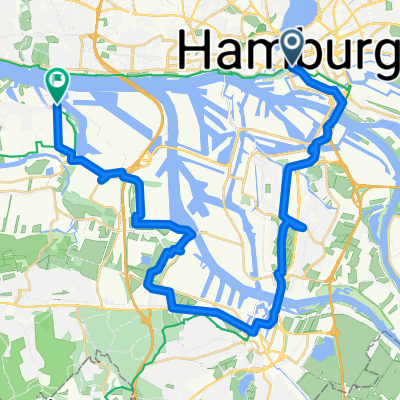
Oberhafen - Entenwerder
A cycling route starting in Hamburg-Altstadt, City state of Hamburg, Germany.
Overview
About this route
Walk along the Oberhafen with a visit to the old freight halls to Elbpark Entenwerder.
- -:--
- Duration
- 8.9 km
- Distance
- 32 m
- Ascent
- 35 m
- Descent
- ---
- Avg. speed
- ---
- Max. altitude

Route quality
Waytypes & surfaces along the route
Waytypes
Path
4.9 km
(55 %)
Quiet road
1.3 km
(15 %)
Surfaces
Paved
4.4 km
(49 %)
Unpaved
1.2 km
(13 %)
Asphalt
4.2 km
(47 %)
Loose gravel
1.2 km
(13 %)
Route highlights
Points of interest along the route
Point of interest after 0.2 km
Deichtorhallen
Point of interest after 0.7 km
Hanseatische Materialverwaltung in den Alten Güterhallen.
Point of interest after 1.3 km
Oberhafen Kantine
Point of interest after 1.7 km
Hammerbrookschleuse
Point of interest after 2.3 km
Großmarkthallen
Point of interest after 4.7 km
Cafe auf dem Entenwerder Ponton
Point of interest after 6.5 km
Oldtimer-Tankstelle Brandshof
Point of interest after 6.8 km
Brandshofer Schleuse
Continue with Bikemap
Use, edit, or download this cycling route
You would like to ride Oberhafen - Entenwerder or customize it for your own trip? Here is what you can do with this Bikemap route:
Free features
- Save this route as favorite or in collections
- Copy & plan your own version of this route
- Sync your route with Garmin or Wahoo
Premium features
Free trial for 3 days, or one-time payment. More about Bikemap Premium.
- Navigate this route on iOS & Android
- Export a GPX / KML file of this route
- Create your custom printout (try it for free)
- Download this route for offline navigation
Discover more Premium features.
Get Bikemap PremiumFrom our community
Other popular routes starting in Hamburg-Altstadt
 Leine-Heide-Radweg
- Distance
- 406.2 km
- Ascent
- 1,316 m
- Descent
- 988 m
- Location
- Hamburg-Altstadt, City state of Hamburg, Germany
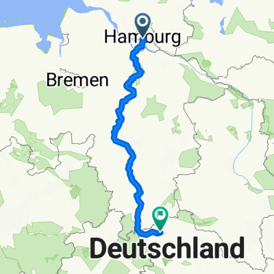
 2015-09-19_TWR on Tour_1.Etappe_Hamburg - Bremen_121 km
- Distance
- 120.9 km
- Ascent
- 135 m
- Descent
- 126 m
- Location
- Hamburg-Altstadt, City state of Hamburg, Germany
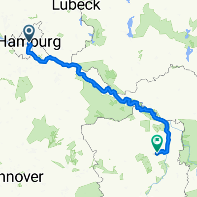
 Willy-Brandt-Straße, Hamburg nach Finkenwerder, Hamburg
- Distance
- 32.5 km
- Ascent
- 102 m
- Descent
- 101 m
- Location
- Hamburg-Altstadt, City state of Hamburg, Germany
 Elberadweg Stendal - Hamburg (Left)
- Distance
- 263.8 km
- Ascent
- 663 m
- Descent
- 648 m
- Location
- Hamburg-Altstadt, City state of Hamburg, Germany
 Grünes Hamburg
- Distance
- 26.4 km
- Ascent
- 57 m
- Descent
- 57 m
- Location
- Hamburg-Altstadt, City state of Hamburg, Germany
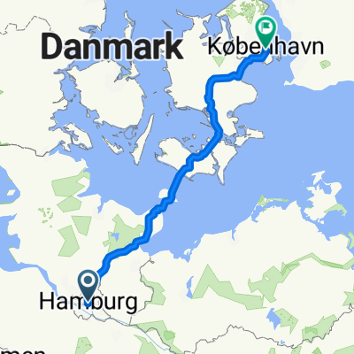 Von Hamburg bis København V
- Distance
- 381.4 km
- Ascent
- 994 m
- Descent
- 988 m
- Location
- Hamburg-Altstadt, City state of Hamburg, Germany
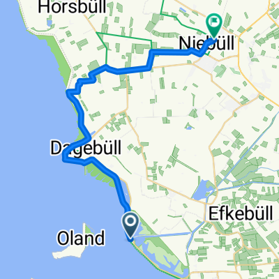 4. Etappe Nordseeküstenradweg mit Unterkunft
- Distance
- 24.6 km
- Ascent
- 3 m
- Descent
- 3 m
- Location
- Hamburg-Altstadt, City state of Hamburg, Germany
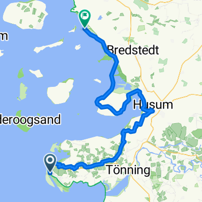 3. Etappe Nordseeküstenradweg mit Unterkunft
- Distance
- 104.8 km
- Ascent
- 28 m
- Descent
- 31 m
- Location
- Hamburg-Altstadt, City state of Hamburg, Germany
Open it in the app