De 9 Route de Lers-Loumède, Plassac à 13 Route de Lers-Loumède, Plassac
- 39.3 km
- 327 m
- 329 m
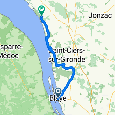
- Blaye, Nouvelle-Aquitaine, France
A cycling route starting in Blaye, Nouvelle-Aquitaine, France.
Overview
created this 7 years ago
Route quality
Quiet road
35.1 km
(34 %)
Cycleway
21.7 km
(21 %)
Paved
34 km
(33 %)
Unpaved
3.1 km
(3 %)
Asphalt
29.9 km
(29 %)
Paved (undefined)
3.1 km
(3 %)
Continue with Bikemap
You would like to ride Day 26 Blaye to Vaux-sur-Mer or customize it for your own trip? Here is what you can do with this Bikemap route:
Free trial for 3 days, or one-time payment. More about Bikemap Premium.
Discover more Premium features.
Get Bikemap PremiumFrom our community
Open it in the app