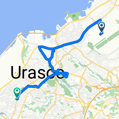
Overview
About this route
- -:--
- Duration
- 53.9 km
- Distance
- 377 m
- Ascent
- 386 m
- Descent
- ---
- Avg. speed
- ---
- Max. altitude
Part of
Okinawa Bike
5 stages
Continue with Bikemap
Use, edit, or download this cycling route
You would like to ride Okinawa Bike Day5 or customize it for your own trip? Here is what you can do with this Bikemap route:
Free features
- Save this route as favorite or in collections
- Copy & plan your own version of this route
- Sync your route with Garmin or Wahoo
Premium features
Free trial for 3 days, or one-time payment. More about Bikemap Premium.
- Navigate this route on iOS & Android
- Export a GPX / KML file of this route
- Create your custom printout (try it for free)
- Download this route for offline navigation
Discover more Premium features.
Get Bikemap PremiumFrom our community
Other popular routes starting in Ginowan
- Okinawa Bike Day5
- Distance
- 53.9 km
- Ascent
- 377 m
- Descent
- 386 m
- Location
- Ginowan, Okinawa, Japan
- Katteni Okinawa2 Day1
- Distance
- 131.6 km
- Ascent
- 568 m
- Descent
- 519 m
- Location
- Ginowan, Okinawa, Japan
- 26/12 Day 5 西原町》那霸市
- Distance
- 52.9 km
- Ascent
- 505 m
- Descent
- 502 m
- Location
- Ginowan, Okinawa, Japan
- 2013年九月中秋節那霸大環島
- Distance
- 340 km
- Ascent
- 771 m
- Descent
- 733 m
- Location
- Ginowan, Okinawa, Japan
- 1-14, Iso 3-Chōme, Urasoe to Gusukuma, Urasoe
- Distance
- 4.1 km
- Ascent
- 12 m
- Descent
- 47 m
- Location
- Ginowan, Okinawa, Japan
- Biking Taiwan Trip in Okinawa, May 2016 - Day 3 Part 2
- Distance
- 13.6 km
- Ascent
- 167 m
- Descent
- 323 m
- Location
- Ginowan, Okinawa, Japan
- Yabiku, Nanjo to 1丁目 18, 那覇市
- Distance
- 17.8 km
- Ascent
- 281 m
- Descent
- 263 m
- Location
- Ginowan, Okinawa, Japan
- Biking Taiwan Trip in Okinawa, May 2016 - Day 1 Part 2
- Distance
- 8.9 km
- Ascent
- 21 m
- Descent
- 52 m
- Location
- Ginowan, Okinawa, Japan
Open it in the app