

CAVALLERIA PESANTE
A cycling route starting in Laives, Trentino-Alto Adige, Italy.
Overview
About this route
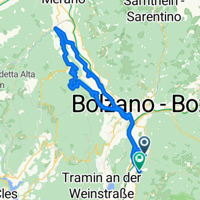
AMAZING BUT ... EXCEPTIONAL are the 7 CASTLES, HOWEVER the trail from Hocheppan and Predonico castles and the trail from GAIDO to SANT'APOLLONIA were absolutely impassable (have to carry the bike on your shoulder!!). The trail from Sirmiano to Grissiano should definitely be taken in the opposite direction!! The descent from Prissiano to Nalles is nice: watch out for gates that look closed but can be opened only by lifting them and sliding the latch. RATING: 9 if we also consider the castles.
- -:--
- Duration
- 70.6 km
- Distance
- 997 m
- Ascent
- 957 m
- Descent
- ---
- Avg. speed
- ---
- Max. altitude

Continue with Bikemap
Use, edit, or download this cycling route
You would like to ride CAVALLERIA PESANTE or customize it for your own trip? Here is what you can do with this Bikemap route:
Free features
- Save this route as favorite or in collections
- Copy & plan your own version of this route
- Sync your route with Garmin or Wahoo
Premium features
Free trial for 3 days, or one-time payment. More about Bikemap Premium.
- Navigate this route on iOS & Android
- Export a GPX / KML file of this route
- Create your custom printout (try it for free)
- Download this route for offline navigation
Discover more Premium features.
Get Bikemap PremiumFrom our community
Other popular routes starting in Laives
 Laives-Nova Ponente-OCLINI-Redagno-Bronx
- Distance
- 65.8 km
- Ascent
- 1,837 m
- Descent
- 1,852 m
- Location
- Laives, Trentino-Alto Adige, Italy
 Leifers-Lago di Caldaro-Weinstraße-Monticolo
- Distance
- 39 km
- Ascent
- 666 m
- Descent
- 663 m
- Location
- Laives, Trentino-Alto Adige, Italy
 salita vadena
- Distance
- 32.1 km
- Ascent
- 567 m
- Descent
- 568 m
- Location
- Laives, Trentino-Alto Adige, Italy
 Laives-Lana-Prissian-Grissian-Andriano-Bronx
- Distance
- 80.3 km
- Ascent
- 932 m
- Descent
- 896 m
- Location
- Laives, Trentino-Alto Adige, Italy
 CAVALLERIA PESANTE
- Distance
- 70.6 km
- Ascent
- 997 m
- Descent
- 957 m
- Location
- Laives, Trentino-Alto Adige, Italy
 Leifers - Nals
- Distance
- 21.1 km
- Ascent
- 126 m
- Descent
- 81 m
- Location
- Laives, Trentino-Alto Adige, Italy
 Laives-S.Michele-Mezzolombardo-Taio-Sanzeno-Mendola-Kaltern-Laives
- Distance
- 125.3 km
- Ascent
- 1,302 m
- Descent
- 1,302 m
- Location
- Laives, Trentino-Alto Adige, Italy
 Giro di KiKa 2014
- Distance
- 1,013.4 km
- Ascent
- 8,606 m
- Descent
- 8,606 m
- Location
- Laives, Trentino-Alto Adige, Italy
Open it in the app