

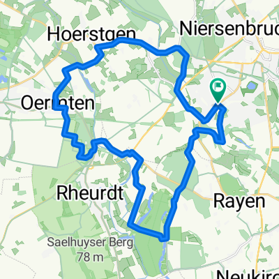
Frankys Runde über den Rheindeich von Orsoy nach Rheinberg
A cycling route starting in Kamp-Lintfort, North Rhine-Westphalia, Germany.
Overview
About this route
After a long closure, the route Orsoy Land and Rheinberg is once again open for cycling. One is amazed, everything is kept in the best asphalt :-). However, for the preceding section, one should have a well-suspension bike under them, as the grooves present every 10 meters in the cobbled pavement are quite severe and annoying. The same applies to the unauthorized cycling on the dyke crown.
- -:--
- Duration
- 34.5 km
- Distance
- 43 m
- Ascent
- 46 m
- Descent
- ---
- Avg. speed
- ---
- Max. altitude

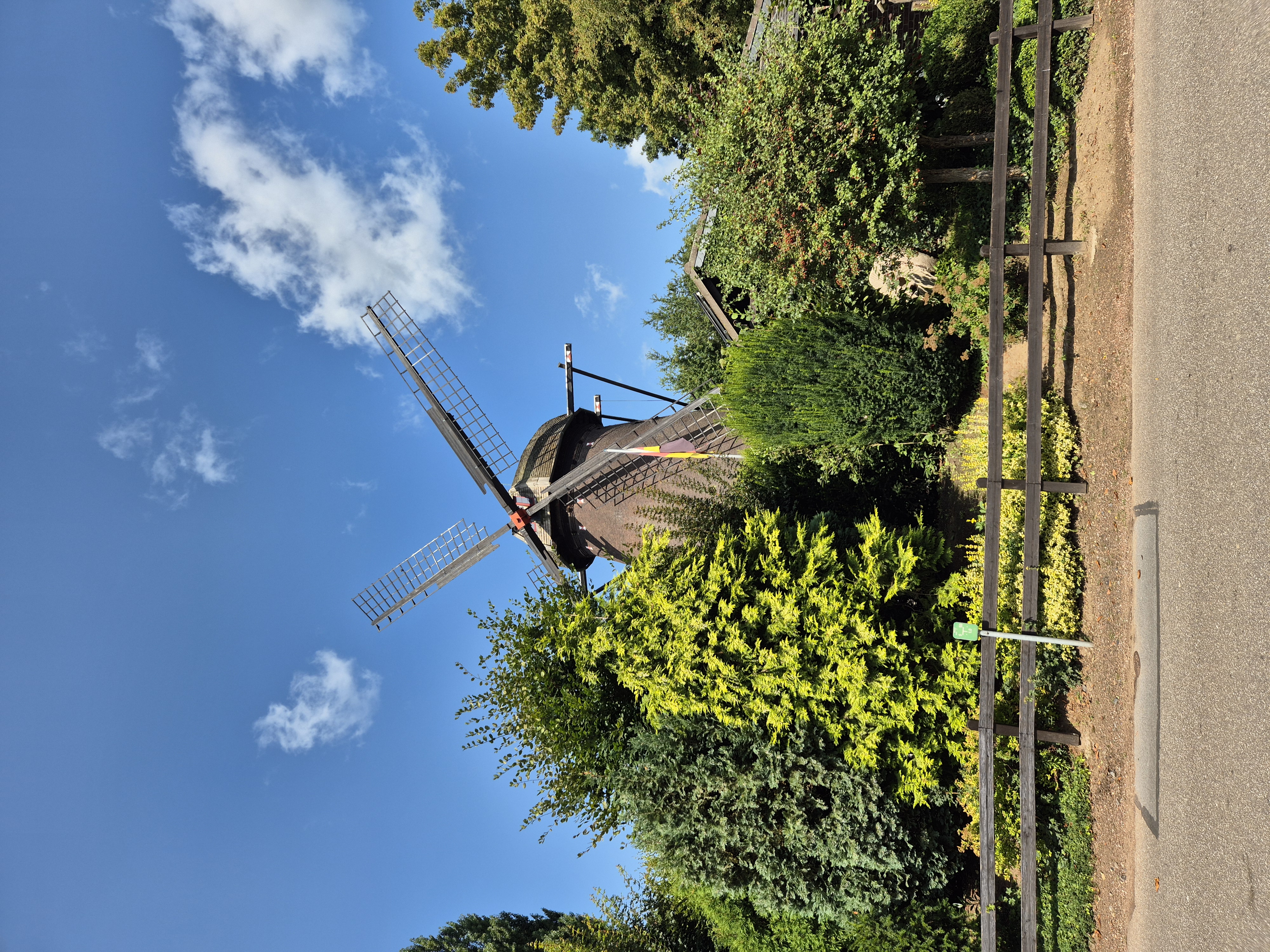
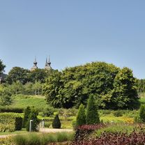
Route photos


Route quality
Waytypes & surfaces along the route
Waytypes
Quiet road
13.8 km
(40 %)
Path
10.7 km
(31 %)
Surfaces
Paved
12.4 km
(36 %)
Unpaved
1.4 km
(4 %)
Asphalt
12.1 km
(35 %)
Gravel
1.4 km
(4 %)
Continue with Bikemap
Use, edit, or download this cycling route
You would like to ride Frankys Runde über den Rheindeich von Orsoy nach Rheinberg or customize it for your own trip? Here is what you can do with this Bikemap route:
Free features
- Save this route as favorite or in collections
- Copy & plan your own version of this route
- Sync your route with Garmin or Wahoo
Premium features
Free trial for 3 days, or one-time payment. More about Bikemap Premium.
- Navigate this route on iOS & Android
- Export a GPX / KML file of this route
- Create your custom printout (try it for free)
- Download this route for offline navigation
Discover more Premium features.
Get Bikemap PremiumFrom our community
Other popular routes starting in Kamp-Lintfort
 Walterstraße 8A nach Alte Mühle
- Distance
- 6.6 km
- Ascent
- 17 m
- Descent
- 59 m
- Location
- Kamp-Lintfort, North Rhine-Westphalia, Germany
 Freiherr-vom-Stein-Straße nach Wilhelminenstraße
- Distance
- 34.2 km
- Ascent
- 76 m
- Descent
- 126 m
- Location
- Kamp-Lintfort, North Rhine-Westphalia, Germany
 Drei Haldentour
- Distance
- 35.7 km
- Ascent
- 221 m
- Descent
- 223 m
- Location
- Kamp-Lintfort, North Rhine-Westphalia, Germany
 Route Kohlenhuk
- Distance
- 26.1 km
- Ascent
- 97 m
- Descent
- 98 m
- Location
- Kamp-Lintfort, North Rhine-Westphalia, Germany
 Lintfort-Tour by O.Broll
- Distance
- 24.8 km
- Ascent
- 32 m
- Descent
- 27 m
- Location
- Kamp-Lintfort, North Rhine-Westphalia, Germany
 Lintfort - Oermter Berg - Lintfort
- Distance
- 23.3 km
- Ascent
- 86 m
- Descent
- 85 m
- Location
- Kamp-Lintfort, North Rhine-Westphalia, Germany
 Kamp-Lintfort-Kempen-Straelen-Kamp-Lintfort
- Distance
- 88.5 km
- Ascent
- 100 m
- Descent
- 100 m
- Location
- Kamp-Lintfort, North Rhine-Westphalia, Germany
 Kamp-Lintfort - Wesel - Walsum - Kamp-Lintfort
- Distance
- 63.4 km
- Ascent
- 58 m
- Descent
- 58 m
- Location
- Kamp-Lintfort, North Rhine-Westphalia, Germany
Open it in the app