Bruckhof mitnehmen
- 50.5 km
- 196 m
- 188 m
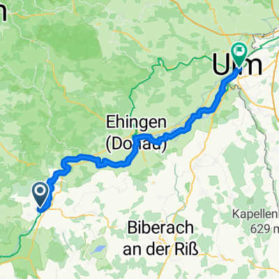
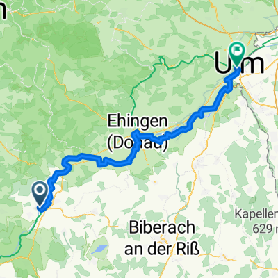
- Riedlingen, Baden-Wurttemberg, Germany
A cycling route starting in Riedlingen, Baden-Wurttemberg, Germany.
Overview
Riedlingen/Donau - Bussen - Rottenacker Ried
and back along the Danube
created this 7 years ago
Route quality
Quiet road
33.2 km
(58 %)
Track
12.6 km
(22 %)
Paved
46.4 km
(81 %)
Unpaved
1.1 km
(2 %)
Asphalt
45.3 km
(79 %)
Concrete
1.1 km
(2 %)
Continue with Bikemap
You would like to ride rund um die Schupfenberge or customize it for your own trip? Here is what you can do with this Bikemap route:
Free trial for 3 days, or one-time payment. More about Bikemap Premium.
Discover more Premium features.
Get Bikemap PremiumFrom our community
Open it in the app