Schliengen-Wiedener-Eck-Fuchswald-Hochkopf-Happach-Scheideck-Schliengen
- 119 km
- 1,665 m
- 1,665 m
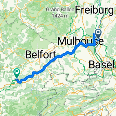
- Schliengen, Baden-Wurttemberg, Germany
A cycling route starting in Schliengen, Baden-Wurttemberg, Germany.
Overview
Sunday morning round 3 through the Black Forest
(over Blauen, the Kreuzweg path is closed)
created this 7 years ago
Route quality
Quiet road
16.3 km
(22 %)
Track
8.1 km
(11 %)
Paved
48.8 km
(66 %)
Unpaved
3 km
(4 %)
Asphalt
48 km
(65 %)
Gravel
2.2 km
(3 %)
Continue with Bikemap
You would like to ride Schliengen Blauen Lipple Sallneck Scheideck Schliengen or customize it for your own trip? Here is what you can do with this Bikemap route:
Free trial for 3 days, or one-time payment. More about Bikemap Premium.
Discover more Premium features.
Get Bikemap PremiumFrom our community
Open it in the app