

Poludnie
A cycling route starting in Étampes, Île-de-France Region, France.
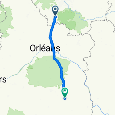
Overview
About this route
Zamki i menhiry
- -:--
- Duration
- 510.3 km
- Distance
- 532 m
- Ascent
- 452 m
- Descent
- ---
- Avg. speed
- ---
- Max. altitude
Route quality
Waytypes & surfaces along the route
Waytypes
Quiet road
149.2 km
(29 %)
Busy road
143.3 km
(28 %)
Surfaces
Paved
180 km
(35 %)
Unpaved
26.8 km
(5 %)
Asphalt
174 km
(34 %)
Ground
11.8 km
(2 %)
Route highlights
Points of interest along the route
Point of interest after 24.3 km
Dolmen de la Pierre Clouée
Point of interest after 76.2 km
Dolmen de Coulmiers
Point of interest after 109.3 km
zamek
Point of interest after 142.1 km
Grupa dolmenów !
Point of interest after 174.9 km
Dolmen la Pierre Tournante
Point of interest after 202.6 km
szato
Point of interest after 217.9 km
zamek
Point of interest after 238.3 km
Dolmen dit La Pierre Levée
Point of interest after 264.1 km
Ładne
Point of interest after 264.9 km
Zamek
Point of interest after 283.3 km
Ruina
Point of interest after 303.7 km
Pierre
Point of interest after 306.4 km
Pierre
Point of interest after 321.5 km
Szato
Point of interest after 360.1 km
Dolmen
Point of interest after 374.4 km
Szato
Point of interest after 486.3 km
Menhir de la Pierre Pointe
Continue with Bikemap
Use, edit, or download this cycling route
You would like to ride Poludnie or customize it for your own trip? Here is what you can do with this Bikemap route:
Free features
- Save this route as favorite or in collections
- Copy & plan your own version of this route
- Split it into stages to create a multi-day tour
- Sync your route with Garmin or Wahoo
Premium features
Free trial for 3 days, or one-time payment. More about Bikemap Premium.
- Navigate this route on iOS & Android
- Export a GPX / KML file of this route
- Create your custom printout (try it for free)
- Download this route for offline navigation
Discover more Premium features.
Get Bikemap PremiumFrom our community
Other popular routes starting in Étampes
 Les journées du LPS
- Distance
- 147.7 km
- Ascent
- 226 m
- Descent
- 200 m
- Location
- Étampes, Île-de-France Region, France
 vallée de la chalouette
- Distance
- 32.7 km
- Ascent
- 231 m
- Descent
- 229 m
- Location
- Étampes, Île-de-France Region, France
 Etampes Orléans
- Distance
- 69.2 km
- Ascent
- 129 m
- Descent
- 84 m
- Location
- Étampes, Île-de-France Region, France
 Etampes - Bourges 169km
- Distance
- 169.1 km
- Ascent
- 336 m
- Descent
- 295 m
- Location
- Étampes, Île-de-France Region, France
 J2 final Etampes Nesploy
- Distance
- 59.8 km
- Ascent
- 215 m
- Descent
- 161 m
- Location
- Étampes, Île-de-France Region, France
 Poludnie
- Distance
- 510.3 km
- Ascent
- 532 m
- Descent
- 452 m
- Location
- Étampes, Île-de-France Region, France
 Etampes Bourges juillet
- Distance
- 169.5 km
- Ascent
- 345 m
- Descent
- 287 m
- Location
- Étampes, Île-de-France Region, France
 etampes Pampa
- Distance
- 119.7 km
- Ascent
- 167 m
- Descent
- 174 m
- Location
- Étampes, Île-de-France Region, France
Open it in the app