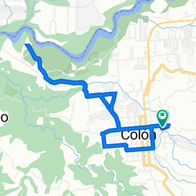
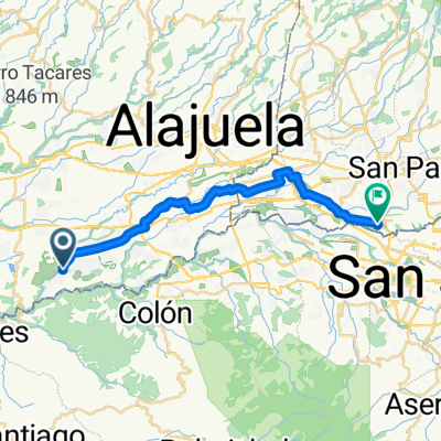
Coffee, birds and high Mountains
A cycling route starting in Col贸n, Heredia Province, Costa Rica.
Overview
About this route
Cycling Costa Rica, enjoying the amazing nature and not afraid to climb the highest mountain range of Costa Rica! This is your route!
Would you like to know more check out www.CostaRicaCycling.com or send us an email info@CostaRicaCycling.com聽
- -:--
- Duration
- 386.6 km
- Distance
- 3,885 m
- Ascent
- 4,571 m
- Descent
- ---
- Avg. speed
- ---
- Max. altitude
Route quality
Waytypes & surfaces along the route
Waytypes
Busy road
190.3 km
(49 %)
Quiet road
98.4 km
(25 %)
Surfaces
Paved
235.4 km
(61 %)
Unpaved
94.7 km
(24 %)
Asphalt
223.9 km
(58 %)
Gravel
53.2 km
(14 %)
Continue with Bikemap
Use, edit, or download this cycling route
You would like to ride Coffee, birds and high Mountains or customize it for your own trip? Here is what you can do with this Bikemap route:
Free features
- Save this route as favorite or in collections
- Copy & plan your own version of this route
- Split it into stages to create a multi-day tour
- Sync your route with Garmin or Wahoo
Premium features
Free trial for 3 days, or one-time payment. More about Bikemap Premium.
- Navigate this route on iOS & Android
- Export a GPX / KML file of this route
- Create your custom printout (try it for free)
- Download this route for offline navigation
Discover more Premium features.
Get Bikemap PremiumFrom our community
Other popular routes starting in Col贸n
- Theo 1 ciudad colon
- Distance
- 16.8 km
- Ascent
- 533 m
- Descent
- 539 m
- Location
- Col贸n, Heredia Province, Costa Rica
- Route from Calle 1, Ciudad Col贸n
- Distance
- 6 km
- Ascent
- 53 m
- Descent
- 55 m
- Location
- Col贸n, Heredia Province, Costa Rica
- De Autopista Jos茅 Mar铆a Castro Madriz, San Rafael a XQ9F+VC7, San Rafael
- Distance
- 6 km
- Ascent
- 570 m
- Descent
- 562 m
- Location
- Col贸n, Heredia Province, Costa Rica
- Theo 2 Tabercia
- Distance
- 18 km
- Ascent
- 613 m
- Descent
- 605 m
- Location
- Col贸n, Heredia Province, Costa Rica
- RUTA A LA GUACIMA Y REGRESO POR PANASONIC
- Distance
- 48.2 km
- Ascent
- 698 m
- Descent
- 698 m
- Location
- Col贸n, Heredia Province, Costa Rica
- piedras negras, rodeo
- Distance
- 16.1 km
- Ascent
- 600 m
- Descent
- 592 m
- Location
- Col贸n, Heredia Province, Costa Rica
- De Unnamed Road, Finca La Ponderosa a Unnamed Road, Finca La Ponderosa
- Distance
- 37.3 km
- Ascent
- 938 m
- Descent
- 919 m
- Location
- Col贸n, Heredia Province, Costa Rica
- Moderate route
- Distance
- 4.9 km
- Ascent
- 83 m
- Descent
- 89 m
- Location
- Col贸n, Heredia Province, Costa Rica
Open it in the app