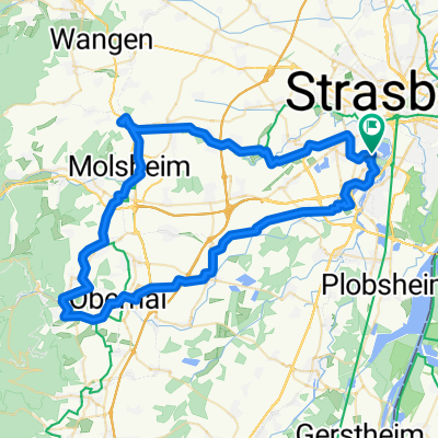
Boucle Mont Sainte-Odile 90 km
- 88.9 km
- 706 m
- 706 m
- Ostwald, Grand Est, France
A cycling route starting in Ostwald, Grand Est, France.
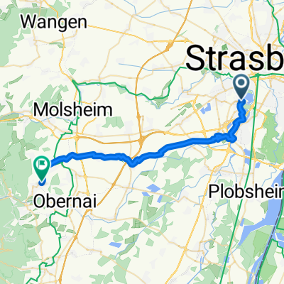
Overview
created this 7 years ago
Route quality
Cycleway
15.1 km
(17 %)
Quiet road
13.3 km
(15 %)
Paved
59.5 km
(67 %)
Asphalt
57.8 km
(65 %)
Paved (undefined)
1.8 km
(2 %)
Undefined
29.3 km
(33 %)
Continue with Bikemap
You would like to ride Boucle Mont Sainte-Odile 90 km or customize it for your own trip? Here is what you can do with this Bikemap route:
Free trial for 3 days, or one-time payment. More about Bikemap Premium.
Discover more Premium features.
Get Bikemap PremiumFrom our community
Open it in the app