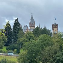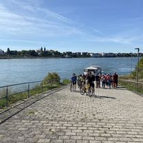
Von Troisdorf bis Köln und zurück
- 70.2 km
- 231 m
- 232 m
- Bonn, North Rhine-Westphalia, Germany
A cycling route starting in Bonn, North Rhine-Westphalia, Germany.
Overview
Up to Oberkassel flat to warm up, then first climb along the L490 to the junction.
Descent to the intersection with Heisterbacher Str.
From now on, back to climbing to Thomasberg.
Up and down to Ittenbach,
last climb to Magarethenhöhe and a magnificent descent down.
Return to Bonn flat as a cool down.
Continue with Bikemap
You would like to ride Bergige Feierabendsrunde durchs Siebengebirge or customize it for your own trip? Here is what you can do with this Bikemap route:
Free trial for 3 days, or one-time payment. More about Bikemap Premium.
Discover more Premium features.
Get Bikemap PremiumFrom our community
Open it in the app