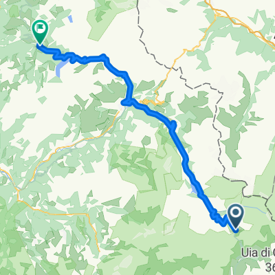
AlpenTour2018
AlpenTour2018_E4-8
A cycling route starting in Val d'Is猫re, Auvergne-Rh么ne-Alpes, France.
Overview
About this route
4.Etappe: Mittwoch 27.Juni2018
Start: Hotel L麓Etoile des Neiges Fontaine Francoise 28, Rue Plaine 73480 Lanslevillard
Tel. 0033 479 05 90 41
Ziel: Hotel Albergho Edelwei脽 Avenue de Mont Blanc 1/3 11010 Pr茅 St. Didier AO Tel. 0039 165 87024
- -:--
- Duration
- 120.2 km
- Distance
- 2,610 m
- Ascent
- 3,066 m
- Descent
- ---
- Avg. speed
- ---
- Max. altitude
Part of
AlpenTour2018
8 stages
Continue with Bikemap
Use, edit, or download this cycling route
You would like to ride AlpenTour2018_E4-8 or customize it for your own trip? Here is what you can do with this Bikemap route:
Free features
- Save this route as favorite or in collections
- Copy & plan your own version of this route
- Split it into stages to create a multi-day tour
- Sync your route with Garmin or Wahoo
Premium features
Free trial for 3 days, or one-time payment. More about Bikemap Premium.
- Navigate this route on iOS & Android
- Export a GPX / KML file of this route
- Create your custom printout (try it for free)
- Download this route for offline navigation
Discover more Premium features.
Get Bikemap PremiumFrom our community
Other popular routes starting in Val d'Is猫re
- Val D'Isere - Col d'Iseran - Col du Mont Cenis
- Distance
- 65.1 km
- Ascent
- 1,563 m
- Descent
- 1,917 m
- Location
- Val d'Is猫re, Auvergne-Rh么ne-Alpes, France
- 021 - 2014
- Distance
- 68.9 km
- Ascent
- 1,825 m
- Descent
- 2,036 m
- Location
- Val d'Is猫re, Auvergne-Rh么ne-Alpes, France
- Route to Col de L'Iseran
- Distance
- 5.2 km
- Ascent
- 964 m
- Descent
- 0 m
- Location
- Val d'Is猫re, Auvergne-Rh么ne-Alpes, France
- AlpenTour2018_E4-8
- Distance
- 120.2 km
- Ascent
- 2,610 m
- Descent
- 3,066 m
- Location
- Val d'Is猫re, Auvergne-Rh么ne-Alpes, France
- Col de l'ISeran
- Distance
- 40.9 km
- Ascent
- 1,213 m
- Descent
- 1,209 m
- Location
- Val d'Is猫re, Auvergne-Rh么ne-Alpes, France
- 5. Etappe Oberdiessbach Le Lavandou
- Distance
- 93.7 km
- Ascent
- 1,786 m
- Descent
- 2,892 m
- Location
- Val d'Is猫re, Auvergne-Rh么ne-Alpes, France
- Cols de Mont Cenis y Petit Mont Cenis
- Distance
- 47 km
- Ascent
- 1,108 m
- Descent
- 1,108 m
- Location
- Val d'Is猫re, Auvergne-Rh么ne-Alpes, France
- Lanslevillard - Susa
- Distance
- 66.3 km
- Ascent
- 1,407 m
- Descent
- 2,382 m
- Location
- Val d'Is猫re, Auvergne-Rh么ne-Alpes, France
Open it in the app