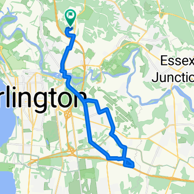
Mallet's Bay 1
- 18.4 km
- 158 m
- 159 m
- Winooski, Vermont, United States
A cycling route starting in Winooski, Vermont, United States.
Overview
The Tour de Winooski is a proposed self-guided biking tour that begins at the Intervale Center. This community farming center is a resource for locally grown and locally operated food production in the Burlington area, and is in close proximity to signs of geological history at the next stop on the tour, Salmon Hole. This natural area on the Winooski River is an important habitat for riparian fish species and shows its geological history through the dolostone outcrops it is home to. The next location on the bike tour is the Ben and Jerry’s factory in Waterbury, VT. This is a local food production factory that is loved by many Vermonters and people around the world. Before bikers reach Waterbury, they will bike past Mt. Mansfield, which is the highest mountain peak in Vermont. The next stop on the tour is Hubbard Tower in Montpelier. Bikers can climb the observation tower and observe the geology of the Winooski Watershed through the views of the Green Mountains around them. If they are tired, bikers can spend the night at one of multiple locally-owned bed and breakfasts in Montpelier. In the morning, bikers will follow the tour to Barre. They can pick up some groceries and think about geology at Granite City Grocery, the grocery co-op in Barre. At this point in the bike tour, it is time to turn around. Bikers will follow the tour on a long haul back to Burlington, where they can enjoy local food from a variety of restaurants and rest at the Burlington Hostel.
created this 8 years ago
Route quality
Road
69.5 km
42 %
Quiet road
28.2 km
17 %
Paved
124.2 km
(75 %)
Unpaved
36.4 km
(22 %)
Asphalt
120.9 km
73 %
Gravel
31.5 km
19 %
Continue with Bikemap
You would like to ride Tour de Winooski or customize it for your own trip? Here is what you can do with this Bikemap route:
Free trial for 3 days, or one-time payment. More about Bikemap Premium.
Discover more Premium features.
Get Bikemap PremiumFrom our community
Open it in the app