

3_Judenburg/Weißenkirchen – Bruck an der Mur/Oberaich
A cycling route starting in Weißkirchen in Steiermark, Styria, Austria.
Overview
About this route
The Mur Cycle Path guides you to Maria Buch with its famous pilgrimage church. The cycling tour continues in Styria to the Seckau Abbey. Former industrial towns, which today delight visitors with their well-preserved old towns, vibrant pedestrian zones, and interesting museums, lie along your route. Soon you will reach Leoben along the Mur Cycling Path with the Göss Abbey and Gösser Brewery. In Bruck an der Mur, a trip to Schlossberg, Kornmesserhaus, and the town hall is highly recommended. Example hotel: Gasthof Pichler in Oberbaich
- -:--
- Duration
- 60.6 km
- Distance
- 126 m
- Ascent
- 320 m
- Descent
- ---
- Avg. speed
- ---
- Max. altitude

Route quality
Waytypes & surfaces along the route
Waytypes
Quiet road
22.4 km
(37 %)
Cycleway
6.7 km
(11 %)
Surfaces
Paved
35.2 km
(58 %)
Unpaved
0.6 km
(1 %)
Asphalt
32.7 km
(54 %)
Paved (undefined)
2.4 km
(4 %)
Continue with Bikemap
Use, edit, or download this cycling route
You would like to ride 3_Judenburg/Weißenkirchen – Bruck an der Mur/Oberaich or customize it for your own trip? Here is what you can do with this Bikemap route:
Free features
- Save this route as favorite or in collections
- Copy & plan your own version of this route
- Sync your route with Garmin or Wahoo
Premium features
Free trial for 3 days, or one-time payment. More about Bikemap Premium.
- Navigate this route on iOS & Android
- Export a GPX / KML file of this route
- Create your custom printout (try it for free)
- Download this route for offline navigation
Discover more Premium features.
Get Bikemap PremiumFrom our community
Other popular routes starting in Weißkirchen in Steiermark
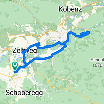 Fisching 27 nach Fisching 27
- Distance
- 37.4 km
- Ascent
- 269 m
- Descent
- 357 m
- Location
- Weißkirchen in Steiermark, Styria, Austria
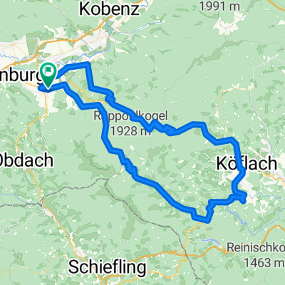
 Drau Mur Runde 16
- Distance
- 46.5 km
- Ascent
- 339 m
- Descent
- 272 m
- Location
- Weißkirchen in Steiermark, Styria, Austria
 Weißkirchen: Zirbenlandrunde über St. Georgen - Obdachersattel - Obdach
- Distance
- 54.2 km
- Ascent
- 651 m
- Descent
- 649 m
- Location
- Weißkirchen in Steiermark, Styria, Austria
 Kärntnerstraße 19, Weißkirchen in der Steiermark nach Kärntnerstraße 19, Weißkirchen in der Steiermark
- Distance
- 17.9 km
- Ascent
- 169 m
- Descent
- 195 m
- Location
- Weißkirchen in Steiermark, Styria, Austria
 2016 1. Tag
- Distance
- 100.5 km
- Ascent
- 1,947 m
- Descent
- 1,947 m
- Location
- Weißkirchen in Steiermark, Styria, Austria
 Wipfelwegtour
- Distance
- 35.9 km
- Ascent
- 208 m
- Descent
- 209 m
- Location
- Weißkirchen in Steiermark, Styria, Austria
 solo_2024_33_MurInsel -
- Distance
- 107.2 km
- Ascent
- 1,007 m
- Descent
- 1,163 m
- Location
- Weißkirchen in Steiermark, Styria, Austria
 Murtalrunde ab Fisching
- Distance
- 43 km
- Ascent
- 195 m
- Descent
- 195 m
- Location
- Weißkirchen in Steiermark, Styria, Austria
Open it in the app